
Drizzlecombe Enclosed Settlement
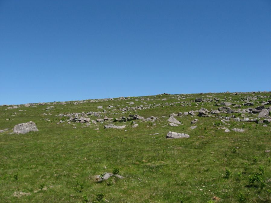
Photo taken on 17-06-2010
Database entries
PDW coverage: Dartmoor Site: Drizzlecombe Ceremonial Complex (Photos 1)
OS Map: SX 59341 67152
OS Source: Constructed
HER: MDV4046
Megalithic Portal: 10509
Alternate name: Drizzlecombe
Short Name: ES Drizzle
Butler map: 49.19
DPD page: 39
Exist: Yes
Record: Unique
Record Source: PDW
Hut Class: No
Lidar: SX 59341 67152
Guide Map: 48
Nearest Bus Stop: Meavy Primary School (6.4 km) [Route: 56]
Nearby sites: SX 59341 67152
Notes
"The drizzlecombe pound (diam (max 67m, min 64m), thic of wall (max 1.52m, min 1.37m), area 0.3ha) is not circular as there is a considerable length of straight wall on the sw. The wall is much ruined in parts. An inner lining of slabs is still visible on the nw side. Mean elevation of ground is 366m od ground slopes to sw with mean gradient of 1 in 7. A cairn lies a few yards outside the pound wall, two hut circles within the enclosure. The entrance is in the west wall". Lethbridge pp.38-42, diagram p.38.References
These are selected references with an emphasis on out of copyright sources linked as PDFs. For more detailed references try any linked HER or PMD record above.
- Butler, Jeremy, Dartmoor Atlas of Antiquities, vol.3: The South-West, (1994)
- Lethbridge, William D., Discover Preshistoric Dartmoor, (2015)
- Worth, R. Hansford, The Prehistoric Pounds of Dartmoor, T.D.A. Vol.75 pp.273-302 (1943)