
Cosdon Hill Encircled Cairn
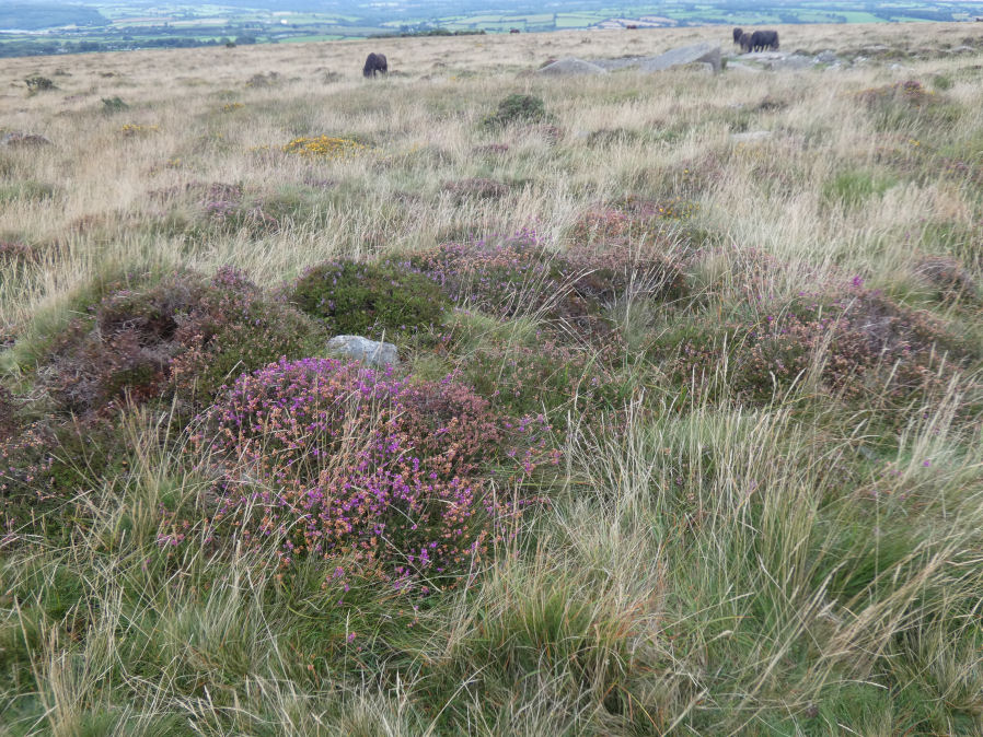
Photo taken on 12-09-2021
Database entries
OS Map: SX 63350 92479
OS Source: Garmin
Butler OS: SX63359246
HER: MDV13064
Megalithic Portal: 22695
Alternate name: Cosdon Hill N.4
Short Name: EC Cosdon N4
Butler map: 40.9
Grinsell: SOUTH TAWTON 10
Exist: Yes
Record: Unique
Record Source: Butler
Hut Class: No
Cairn Class: Yes
Dimensions (m): c.7.0 x 0.4
Lidar: SX 63350 92479
Guide Map: 3
Nearest Bus Stop: Ramsley (2.2 km) [Route: 670,671,6A]
Nearby sites: SX 63350 92479
Notes
Cairn at the junction of two Bronze Age reaves. "Round cairn on Cosdon Hill, measuring 7.3 metres in diameter and standing up to 0.8 metres high. A number of edge set stones visible around the southern side of the cairn mound suggests the existence of a kerb. There is a hollow in the north side of the mound, probably the result of partial robbing or an early excavation."References
These are selected references with an emphasis on out of copyright sources linked as PDFs. For more detailed references try any linked HER or PMD record above.
- Butler, Jeremy, Dartmoor Atlas of Antiquities, vol.2: The North, (1991)
- Grinsell, L.V., Dartmoor Barrows, Devon Archaeological Society Proceedings No.36 (1978)