
Nattadon Fort
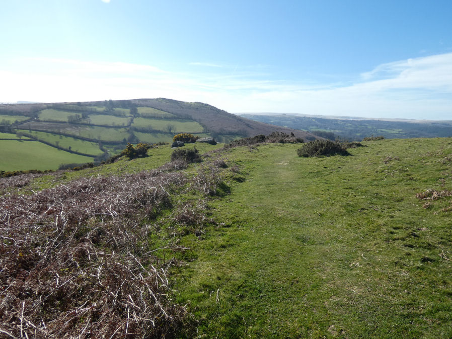
Photo taken on 18-03-2026
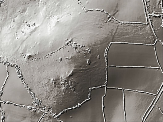
Screengrab of Lidar imagery taken from https://houseprices.io/lab/lidar/
Database entries
PDW coverage: Dartmoor Resource: Table of Devon Iron Age Forts
OS Map: SX 70510 86638
OS Source: Lidar
HER: MDV8261
Megalithic Portal: 43578
Alternate name: Nattadon
Short Name: FT:Nattadon
Exist: Yes
Record: Unique
Record Source: PDW
Hut Class: No
Lidar: SX 70510 86638
Nearest Bus Stop: Chagford The Square (1.3 km) [Route: 173,178,671]
Nearby sites: SX 70510 86638
Notes
HER: Constructed in a naturally defensive situation, the earthworks appear to be the setting out stage of a bivallate hilltop fortification, similar to Hunters Tor. It appears to be constructed upon a pre-existing field system which is harder to see on the ground than on the aerial photograph. The present extent of the field system is around 12 hectares. The north-east side of outer defensive enclosure is hard to trace and may have been destroyed by tinners pits. There is no trace of an entrance visible.The author visited this site on 18/03/2026 with Steve Szypko. We can confirm that the earthworks are easier to see on lidar or aerial photography, see lidar screengrab. There is an interesting discussing on fragmentary and incomplete forts in Newman's book linked on this record that mentions Nattadon. It has been suggested the earthworks have suffered from ploughing but it is possible they were never that substantial consisting perhaps of a small bank with a wooden fence. On our visit we noticed the very steep slopes to the top. Perhaps for a small community you don't need to devote time and resources to construct major earthworks when the location is already readily defensible.
References
These are selected references with an emphasis on out of copyright sources linked as PDFs. For more detailed references try any linked HER or PMD record above.
- Gerrard, Sandy, English Heritage Book of Dartmoor: Landscapes Through Time, (1997)
- Greeves, T, The Archaeology of Dartmoor from the Air, (1985)
- Newman, Phil, The Field Archaeology of Dartmoor, (2011)