
Hingston Hill Enclosed Settlement
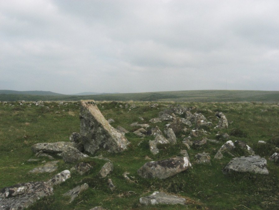
Photo taken on 05-06-2016
Database entries
OS Map: SX 59118 69477
OS Source: PDW
HER: MDV3435
Megalithic Portal: 27901
Alternate name: Hingston Hill
Short Name: ES Down Tor
Butler map: 47.7
DPD page: 29
Exist: Yes
Record: Unique
Record Source: PDW
Hut Class: No
Lidar: SX 59118 69477
Guide Map: 43
Nearest Bus Stop: Princetown Dartmoor Visitor Centre (5.2 km) [Route: 98,171(20/07/26 to 19/09/26)]
Nearby sites: SX 59118 69477
Notes
"Hingston hill pound, east of down tor, is a circular enclosure whose wall consists of large stones. Entrance is marked by a slab like stone which extends through the thickness of a wall. About 100m from the pound in a direction 15 s of e lies the centre of a cairn, c.18m in diameter at the base. The down tor stone row points to this cairn (Worth)". Lethbridge pp.27-29, diagram p.27. Listed as Narrator Brookhead Enclosure on Megalithic Portal.References
These are selected references with an emphasis on out of copyright sources linked as PDFs. For more detailed references try any linked HER or PMD record above.
- Brent, Francis, Prehistoric Remains on Dartmoor, Journal of the British Archaeological Association Vol.39 pp.217-222 (1883)
- Butler, Jeremy, Dartmoor Atlas of Antiquities, vol.3: The South-West, (1994)
- Lethbridge, William D., Discover Preshistoric Dartmoor, (2015)
- Worth, R. Hansford, The Prehistoric Pounds of Dartmoor, T.D.A. Vol.75 pp.273-302 (1943)