Database entries
OS Map: SX 65553 74441
OS Source: Google
HER: MDV6397
Megalithic Portal: 4614
Alternate name: Huccaby Rings Outer
Short Name: ES HuccabyOut
Exist: Yes
Record: Unique
Record Source: PDW
Hut Class: No
Lidar: SX 65553 74441
Guide Map: 35
Nearest Bus Stop: Postbridge Bellever (3.8 km) [Route: 98]
Nearby sites: SX 65553 74441
Notes
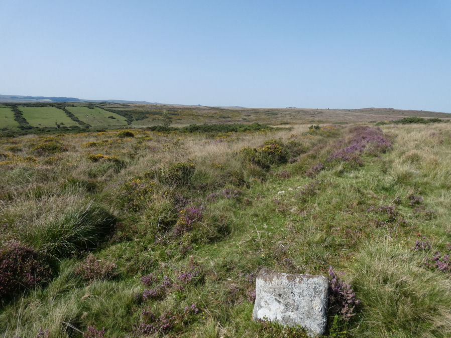
"Outer Huccaby Ring earthwork; a sub-rectangular banked enclosure. The bank is grassed over rubble. There is a probable entrance on the south-west side. A hillslope enclosure in rough moorland measuring 105 metres east-west and 95 metres north-south with a bank of small stones averaging 0.6 metres high. It is of prehistoric date with later additions." In more recent years the formerly grass covered site has become gorse and heather covered as can be seen in the photo of the northern section. In 2022-2024 work has been done by the Dartmoor Preservation Association to clear the gorse from the bank.