
Corn Ridge Rock Stone Ring Cairn Circle
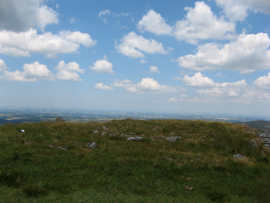
Photo taken on 08-07-2018
Database entries
OS Map: SX 55219 89145
OS Source: Google
Butler OS: SX55208918
HER: MDV48864
Megalithic Portal: 45850
Alternate name: Branscombe's Loaf 3
Short Name: RC Branscomb 3
Butler map: 43.12.3
Turner: A66
Exist: Yes
Record: Unique
Record Source: Butler
Hut Class: No
Cairn Class: Yes
Dimensions (m): c.10.0
Lidar: SX 55219 89145
Guide Map: 5
Nearest Bus Stop: Sourton Windard Terrace (2.7 km) [Route: 118]
Nearby sites: SX 55219 89145
Notes
"Tor cairn on summit of Corn Ridge. Two banks of small to medium stones associated with large outcrop. Outer bank survives as 12 metres long, 1.2 metres wide, 0.3 metres high curving rubble spread following s + w edges of the outcrop. Inner ring measures 1.3m wide, 0.3m high and corresponds with the n edge of the outcrop, but also extends over the rock itself, which stands 3m high. Area enclosed by ring banks measures 15m ns by 12m ew" One of 4 cairns on Corn Ridge - see Turner "Ring Cairns, Stone Circles and Related Monuments on Dartmoor" DASP No. 48 p59 for diagram of the 4 cairns.References
These are selected references with an emphasis on out of copyright sources linked as PDFs. For more detailed references try any linked HER or PMD record above.
- Butler, Jeremy, Dartmoor Atlas of Antiquities, vol.2: The North, (1991)
- Turner, J.R., Ring Cairns, stone circles and related monuments on Dartmoor, D.A.S.P. No.48 pp.27-86 (1990)