
Branscombe's Loaf Stone Ring Cairn Circle
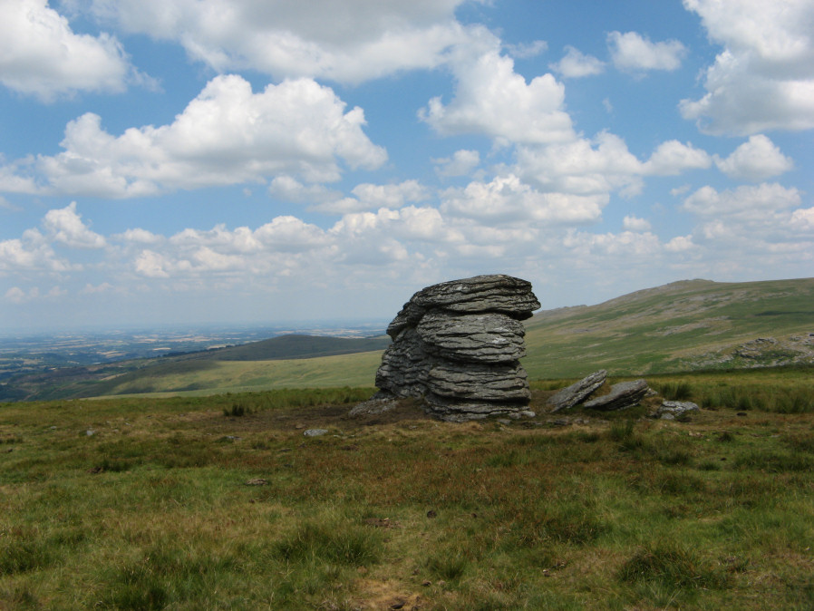
Photo taken on 08-07-2018
Database entries
OS Map: SX 55305 89126
OS Source: Google
HER: MDV48863
Megalithic Portal: 45843
Alternate name: Branscombe's Loaf
Short Name: RC Branscomb 6
Turner: A57
Exist: Yes
Record: Unique
Record Source: PDW
Hut Class: No
Cairn Class: Yes
Dimensions (m): 18.5
Lidar: SX 55305 89126
Guide Map: 5
Nearest Bus Stop: Sourton Windard Terrace (2.9 km) [Route: 118]
Nearby sites: SX 55305 89126
Notes
One of 4 cairns on Corn Ridge - see Turner "Ring Cairns, Stone Circles and Related Monuments on Dartmoor" DASP No. 48 p59 for diagram of the 4 cairns. This one is a "tor cairn" - a circular bank enclosing a rocky outcrop. The circle can be seen clearly on Google Earth satellite imagery.References
These are selected references with an emphasis on out of copyright sources linked as PDFs. For more detailed references try any linked HER or PMD record above.
- Gerrard, Sandy, English Heritage Book of Dartmoor: Landscapes Through Time, (1997)
- Turner, J.R., Ring Cairns, stone circles and related monuments on Dartmoor, D.A.S.P. No.48 pp.27-86 (1990)