Prehistoric Dartmoor Walks, walking the Stone Rows and Stone Circles of Dartmoor
HomeWalksSites Access Resources
Dartmoor Site: Broad Down Reported Cairn

Broad Down Reported Cairn

Broad Down Reported Cairn

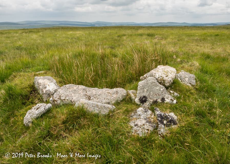
Photo taken on 25-06-2019

Database entries

OS Map: SX 61940 80883
OS Source: Google
HER: MDV80630
Alternate name: Broad Down
Short Name: CN-BroadDown
Exist: Yes
Record: Unique
Record Source: HER
Hut Class: No
Lidar: SX 61940 80883
Guide Map: 25
Nearest Bus Stop: Postbridge Post Office (4.5 km) [Route: 98,171]
Nearby sites: SX 61940 80883

Notes

Photo by Peter Brooks and reproduced here with his kind permission (copyright remains with Peter)."Peat cutter's shelter constructed from natural granite slabs 900 meters south of Sandy Hole Pass in an area of extensive peat cutting." Listed on the Modern Antiquarian as a cairn - but clearly a shelter. The author visited this location on 12/10/24 and my first thought was "shelter". I will keep Peter's photo of this site. See: Broad Down Cairn

Google Satellite Map

Page last updated 18/02/24