
Sourton Common Cairn Alignment
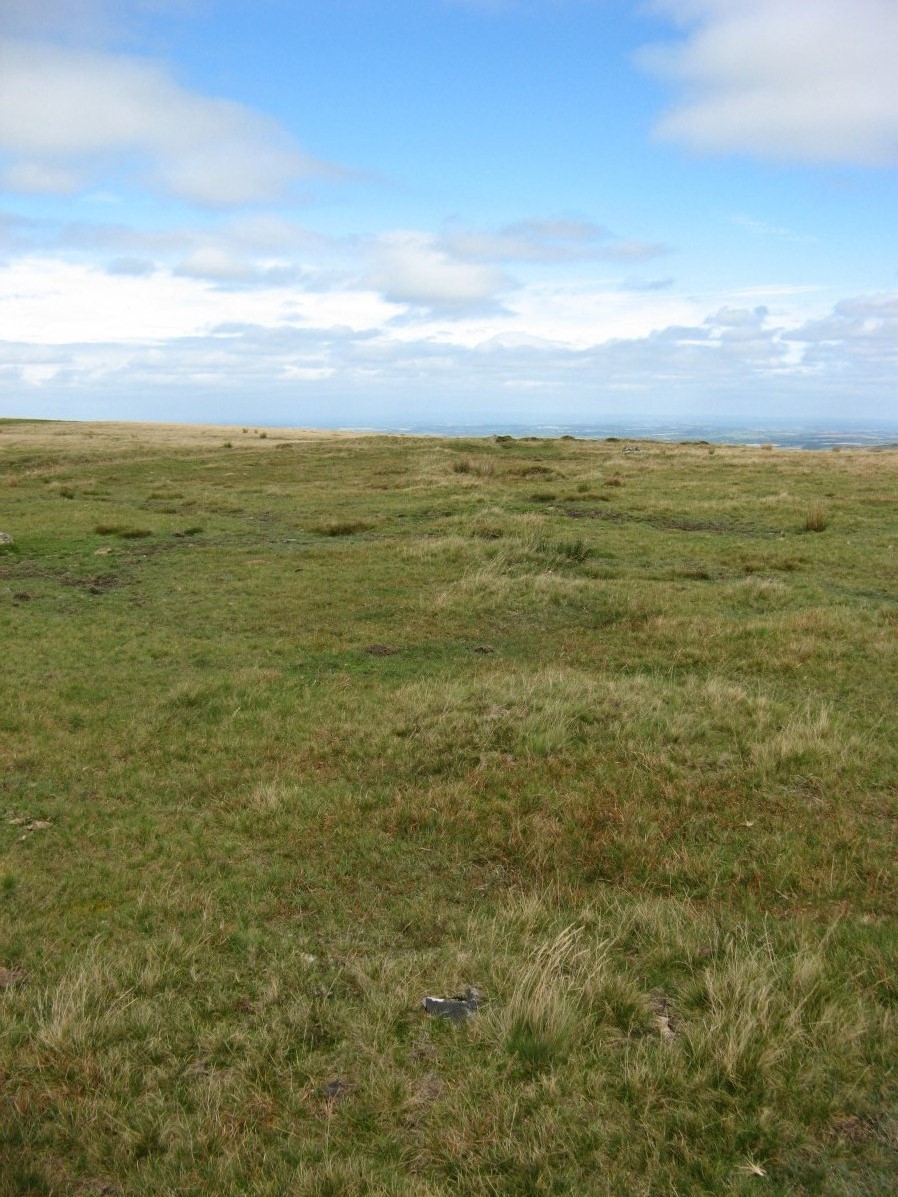
Photo taken on 09-09-2018
Database entries
OS Map: SX 54623 89529
OS Source: Garmin
HER: MDV50568
Alternate name: Sourton Common
Short Name: CR Sourton Row
Exist: Yes
Record: Unique
Record Source: HER
Hut Class: No
Cairn Class: Yes
Dimensions (m): 344.5
Lidar: SX 54623 89529
Guide Map: 5
Nearest Bus Stop: Sourton Windard Terrace (1.8 km) [Route: 118]
Nearby sites: SX 54623 89529
Notes
Cairn alignment crossing a ridge forming a saddle between Sourton Tor to w and corn ridge to e. It is 344.5m long, running n-s. The author visited and logged the location of the individual cairns on 09/09/2018 and again on 22/06/2022.The area to the west and north of Sourton Tor is covered with thurfurs which are geological permafrost mounds which have a similar size and appearance. This begs the question as to whether this could be some peculiar linear geological feature. However, on the site visit on 22/06/2022 it was clear many of the cairns include piles of rocks which suggest they are indeed man-made.
HER: Cairn alignment orientated north-north-east to south-south-west with 74 small cairns and a large mound at either end. The diameters of the small cairns range from 1 metre to 2.5 metres and their heights from 0.1 metres to 0.4 metres, with a spacing of between 4 metres and 6 metres. The cairn at the southern end is 10 metres in diameter and stands up to 0.4 metres high. The cairn at the north end is 13 metres in diameter and 0.8 metres high. The alignment is cut through by a later post-medieval boundary ditch. This cairn alignment is the only known example on Dartmoor and perhaps in Britain
References
These are selected references with an emphasis on out of copyright sources linked as PDFs. For more detailed references try any linked HER or PMD record above.
- Gerrard, Sandy, English Heritage Book of Dartmoor: Landscapes Through Time, (1997)