
Prehistoric Dartmoor Walks, walking the Stone Rows and Stone Circles of Dartmoor
HomeWalksSites Access Resources
Dartmoor Site: Cripdon Down Reported Cairn

Cripdon Down Reported Cairn
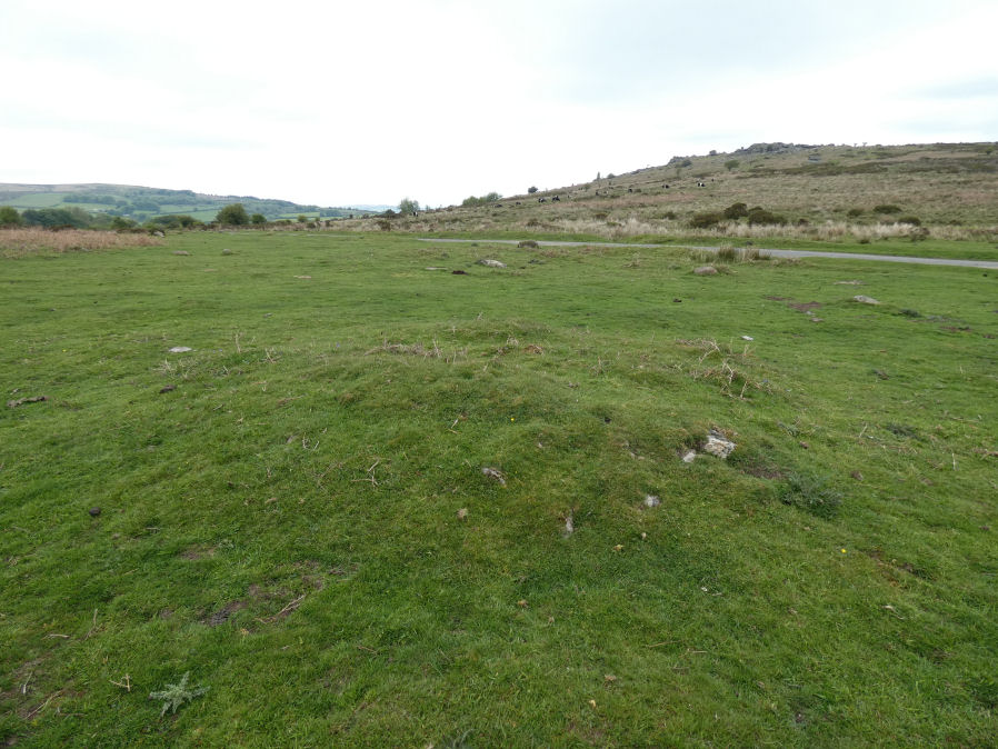
Cripdon Down Reported Cairn

Photo taken on 06-05-2026

Database entries

OS Map: SX 73852 80032
OS Source: Garmin
Alternate name: Cripdon Down
Short Name: CN CripdonDn
Exist: Yes
Record: Unique
Record Source: PDW
Hut Class: No
Cairn Class: Yes
Lidar: SX 73852 80032
Guide Map: 30
Nearest Bus Stop (Minor): Swallerton Gate (1.2 km) [Route: 271]
Nearest Bus Stop (Major): Lustleigh Bishops Stone (5.0 km) [Route: 178]
Nearby sites: SX 73852 80032

Notes

A possible cairn not far from the road on Cripdon Down. There is no entry for a cairn at this location on the HER but there is an entry for a Wind Pump. HER: 'wind pump' shown on os 6" (1963) map. See: MDV31033. Perhaps this could be the foundations for such a structure but it looks very much like a cairn!

Google Satellite Map

Page last updated 18/02/24