
Langcombe Brook 7 Cist
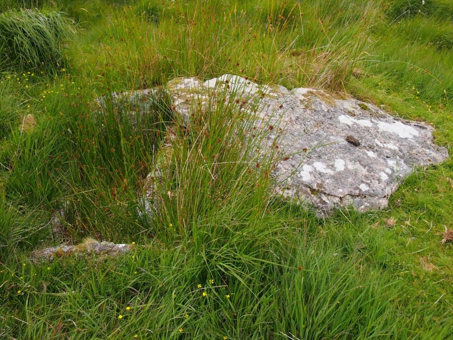
Photo taken on 17-07-2016
Database entries
PDW coverage: Dartmoor Site: Guide to the Langcombe Brook & Deadman's Bottom Cists
OS Map: SX 60380 66921
OS Source: Google
Butler OS: SX60376691
HER: MDV5134
Megalithic Portal: 45765
PMD: Langcombe Brook 7
Alternate name: Langcombe Brook 7
Short Name: CT Langcombe 7
Butler map: 50.3.7
Dixon Cist #: 105
Grinsell: SHAUGH PRIOR 16
DPD page: 47
Exist: Yes
Record: Unique
Record Source: Butler
Hut Class: No
Cist Class: Yes
Cairn Class: Yes
Dimensions (m): 5.0 x 0.3 C
Lidar: SX 60380 66921
Guide Map: 50
Nearest Bus Stop: Lee Moor Clearview (7.7 km) [Route: 59]
Nearby sites: SX 60380 66921
Notes
"Two end stones and the western side stone are in an upright position while the eastern side stone leans inwards. Length of northern end stone 0.7m, southern end stone 0.7m, eastern side stone 1.2m and western side stone 1m. Present depth of cist 0.3m. There is a cover stone measuring 1.6m by 1m which rests on the eastern side stone and which partly covers the northern corner of the cist". Lethbridge p.47 Langcombe Cist K - diagram p.43 Butler Langcombe Brook 7 (Cairn 7) - Vol. 3. Map 50.3 (pp.148-54 general plan of Langcombe Brook cairns p.151, diagram of Langcombe cists p.153).References
These are selected references with an emphasis on out of copyright sources linked as PDFs. For more detailed references try any linked HER or PMD record above.
- Butler, Jeremy, Dartmoor Atlas of Antiquities, vol.3: The South-West, (1994)
- Grinsell, L.V., Dartmoor Barrows, Devon Archaeological Society Proceedings No.36 (1978)
- Lethbridge, William D., Discover Preshistoric Dartmoor, (2015)