
Devils Tor 2 Reported Cairn
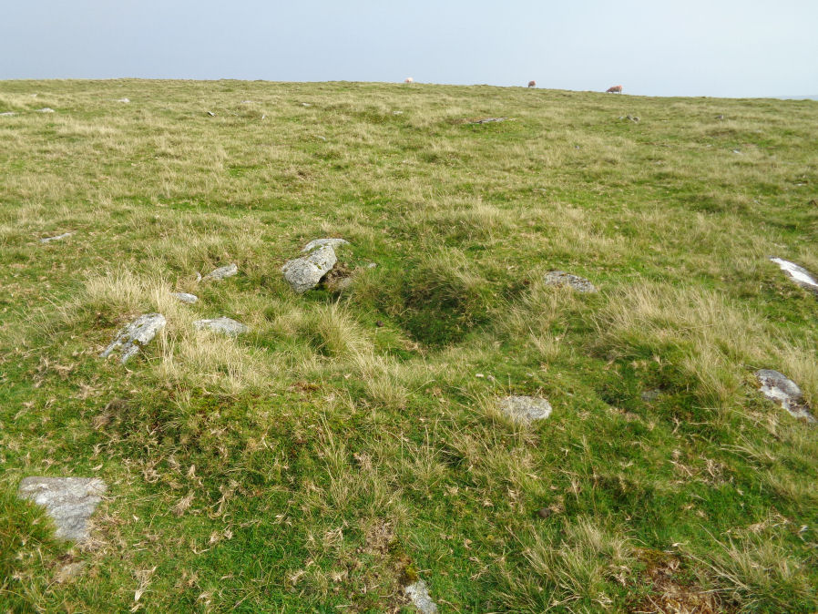
Photo taken on 15-09-2020
Database entries
OS Map: SX 59578 79408
OS Source: Garmin
HER: MDV131162
Alternate name: Devils Tor 2
Short Name: CN DevilsTor 2
Exist: Yes
Record: Unique
Record Source: HER
Hut Class: No
Cairn Class: Yes
Lidar: SX 59578 79408
Guide Map: 25
Nearest Bus Stop (Minor): Powder Mills (5.7 km) [Route: 171(20/07/26 to 19/09/26)]
Nearest Bus Stop (Major): Two Bridges Hotel (4.6 km) [Route: 98,171(20/07/26 to 19/09/26)]
Nearby sites: SX 59578 79408
Notes
SX 59667941. A low ovoid cairn located in an area of peat cuttings and shell craters on a ridge crest, 250m south of Devils Tor. It is partially obscured by heather and measures 3.1m in diameter with a maximum height of 0.4m. There are no indications of a kerb or cist and no obvious sign of disturbance. A natural stone pile at SX 59457939 (SX 57 NE 2) has been erroneously claimed as the feature described by Worth ('A cairn about 200 yards south of Beardown Man'; see MDV4217).Formerly linked to MDV4217 with grid reference SX 59570 79409. That HER entry has been updated and moved to the West and the entry replaced with MDV131162.
References
These are selected references with an emphasis on out of copyright sources linked as PDFs. For more detailed references try any linked HER or PMD record above.
- Newman, Phil, Archaeological Sites within Merrivale Training Area, Southwest Landscape Investigations (2018)
- Worth, R. Hansford, The Dartmoor Menhirs, T.D.A. Vol.72 pp.191-200 (1940)