
West Mill Tor Reported Stone Row
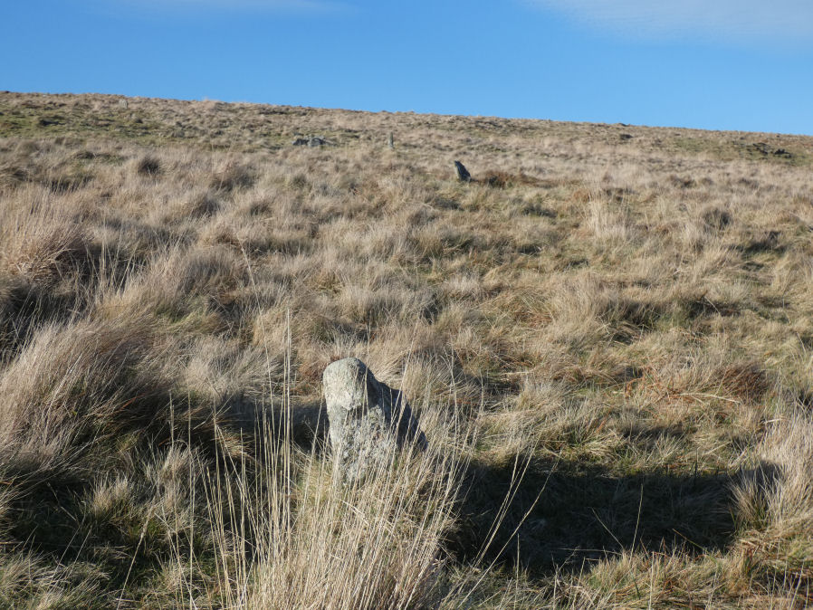
Photo taken on 27-12-2025
Database entries
OS Map: SX 5878 9078
OS Source: HER
HER: MDV11812
Alternate name: West Mill Tor
Short Name: SR:West Mill
Exist: Yes
Record: Unique
Record Source: HER
Hut Class: No
Lidar: SX 5878 9078
Guide Map: 6
Nearest Bus Stop: Okehampton Railway Station (4.8 km) [Route: 118,306,6A]
Nearby sites: SX 5878 9078
Notes
HER: A double stone row thought to be of prehistoric date comprises 35 surviving stones, of which 7 are recumbent. The original arrangement may have included 64 stones. They now stand at a distance of 9m between rows as slabs set on edge and in line averaging 0.15m thick, 0.5m long and 0.4m high. A sinuous double row of set stones lies across the summit area of a moorland ridge. Its origins and function are obscure but it may be associated with military activity, possibly a trackway.HER quoting Probert and Newman: A double line of set stones and slabs follows a sinuous course across the summit area and down the south facing slope of a moorland ridge between SX58789078 and SX 59039073. A total of 73 stones were identified during the resurvey of this curvilinear feature in 2004 - although some of the stones, now buried in the heather, may be natural earthfast boulders or stones. 18 stones or slabs are upright - they are on average 1.1 metre long and 0.5 metres wide and 5 stones or slabs are leaning. There are numerous mortar-shell holes in the area and, nearby a circular level platform at SX 58879073 ... The original and function of this impressive, though slight feature are obscure. However there are indications on the ground that this alignment may have extended further to the north and may therefore be part of an extensive track or boundary work. As such it may have a military rather than a prehistoric origin because as Quinnell conceded it would be a most unusual stone row. An example of a military metalled road lined by small upright slabs is the track to Hangingstone Hill at SX 61328693.
The author visited this feature with Steve Szypko on 27/12/2025. At first it looked like a plausible stone row but as it curved and bended and dramatically changed course it became clear that it isn't. It seemed to us that they were marking a boundary but from what period or for what purpose we could not tell.