
Homerton Hill 5 Cairn
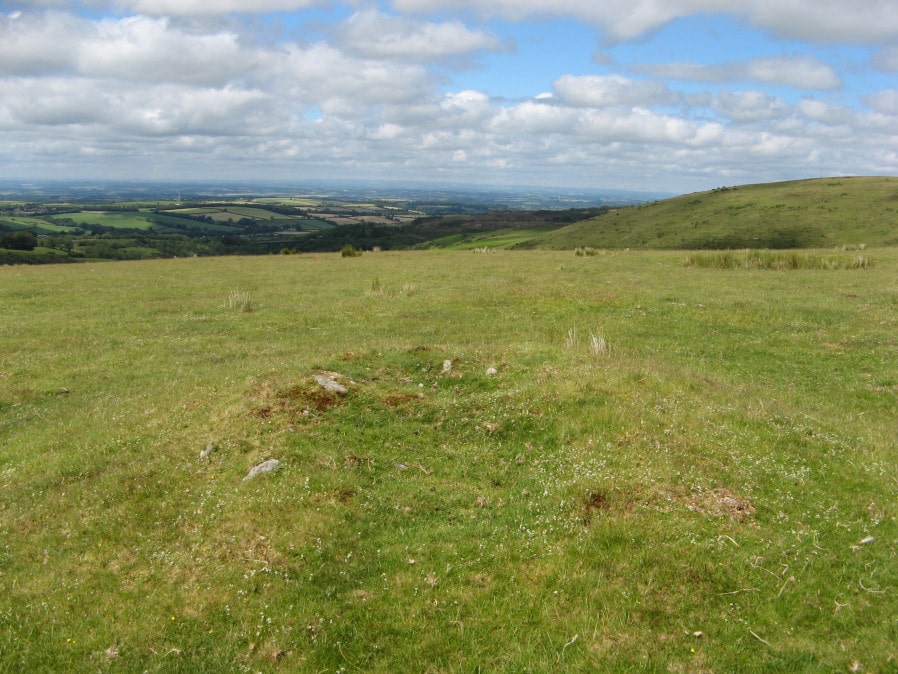
Photo taken on 30-06-2019
Database entries
OS Map: SX 56082 90546
OS Source: Garmin
HER: MDV52474
Alternate name: Homerton Hill 5
Short Name: CN Homerton 5
Exist: Yes
Record: Unique
Record Source: HER
Hut Class: No
Cairn Class: Yes
Dimensions (m): 5.0 x 0.4
Lidar: SX 56082 90546
Guide Map: 4
Nearest Bus Stop: Sourton Windard Terrace (3.5 km) [Route: 118]
Nearby sites: SX 56082 90546
Notes
HER: this cairn forms the westernmost mound in a cairnfield. Measures 5m in diam and stands up to 0.4m high. The s part of the mound has seen limited damage, probably as a result of partial robbing and the core of large stones is therefore exposed. This cairn may contain burials, but the mound does form part of a group which most likely represent stone clearance connected with cultivation of the areaReferences
These are selected references with an emphasis on out of copyright sources linked as PDFs. For more detailed references try any linked HER or PMD record above.
- Butler, Jeremy, Dartmoor Atlas of Antiquities, vol.2: The North, (1991)
- Newman, Phil, Archaeological Sites within Okehampton Training Area, Southwest Landscape Investigations (2014)