
Yellowmeade Settlement Round House
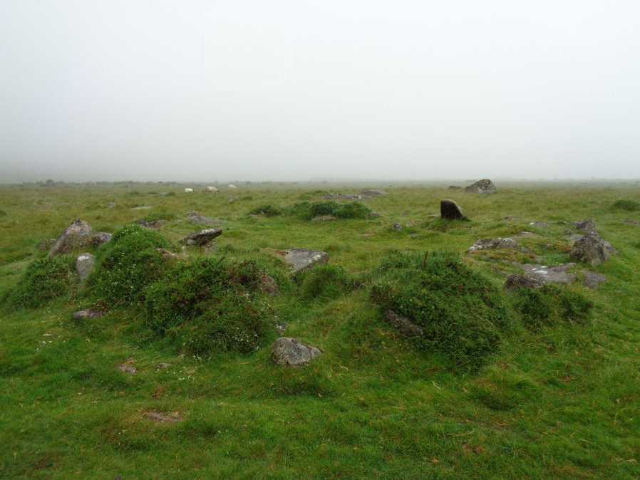
Photo taken on 24-06-2017
Database entries
OS Map: SX 56480 74420
OS Source: Garmin
HER: MDV4954
Alternate name: Yellowmeade Settlement
Short Name: CT-Yellowm Fm3
Exist: Yes
Record: Unique
Record Source: HER
Hut Class: Yes
Cist Class: Maybe
Cairn Class: Maybe
Lidar: SX 56480 74420
Guide Map: 33
Nearest Bus Stop: Merrivale Dartmoor Inn (2.3 km) [Route: 98,171(20/07/26 to 19/09/26)]
Nearby sites: SX 56480 74420
Notes
Probable hut circle. nw of the nw angle of the ends of yellowmeade farm, practically on the old tavistock-ashburton track. The cairn may contain a kistvaen. To the ne of the cairn there is a pound enclosing 3 hut circles. Large stones are used in the cairn.This record originated from the HER and it now seems clear it is a duplicate of Yellowmeade 2 which is also of a reported cist. There is a round house at this location. This record is being retained and changed to a round house. This also reflects the current content of the linked HER record.