
East Glazebrook Platform Cairn Circle
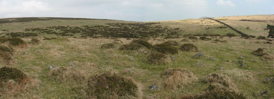
Photo taken on 21-03-2012
Database entries
PDW coverage: Dartmoor Walk: The Neolithic tombs of Cuckoo Ball & Corringdon Ball
OS Map: SX 66623 61237
OS Source: Garmin
Butler OS: SX66626123
HER: MDV15960
Megalithic Portal: 808
Alternate name: Corringdon Ball 6
Short Name: PC Corringdo6
Butler map: 56.8.6
Grinsell: UGBOROUGH 3a
Turner: E50
Exist: Yes
Record: Unique
Record Source: Butler
Hut Class: No
Cairn Class: Yes
Barrow Report: 68
Dimensions (m): 14.0 x 0.4
Lidar: SX 66623 61237
Guide Map: 57
Nearest Bus Stop: South Brent Pool Park (4.9 km) [Route: 38]
Nearby sites: SX 66623 61237
Notes
Platform Cairn with Outer Stone Circles. "A ruined cairn with a very stony centre and the remains of multiple concentric rings of small stones visible on the south side. A substantial bank survives on the north side." Lethbridge p.82References
These are selected references with an emphasis on out of copyright sources linked as PDFs. For more detailed references try any linked HER or PMD record above.
- Butler, Jeremy, Dartmoor Atlas of Antiquities, vol.4: The South-East, (1993)
- Emmett, D.D., Stone rows: the traditional view reconsidered, D.A.S.P. No.37 pp.94-114 (1979)
- Grinsell, L.V., Dartmoor Barrows, Devon Archaeological Society Proceedings No.36 (1978)
- Lukis, W.C, Report on the Monuments of Dartmoor, Proceeding of the Society of Antiquaries Vol.8 (1881)
- Robinson, Rosmary and Greeves, T. A. P., Two Unrecorded Prehistoric Multiple Stone Rings, Glasscombe, Ugborough, South Dartmoor, D.A.S.P. No.39 pp.33-66 (1981)
- Robinson, Rosmary and Cosford, Judith, Dartmoor multiple stone circles, D.A.S.P. No.44 pp.166-170 (1986)
- Turner, J.R., Ring Cairns, stone circles and related monuments on Dartmoor, D.A.S.P. No.48 pp.27-86 (1990)
- Worth, R. Hansford, Barrow Report 68, T.D.A. Vol.81 pp.53-55 (1949)