
Glasscombe Corner Cairn Circle
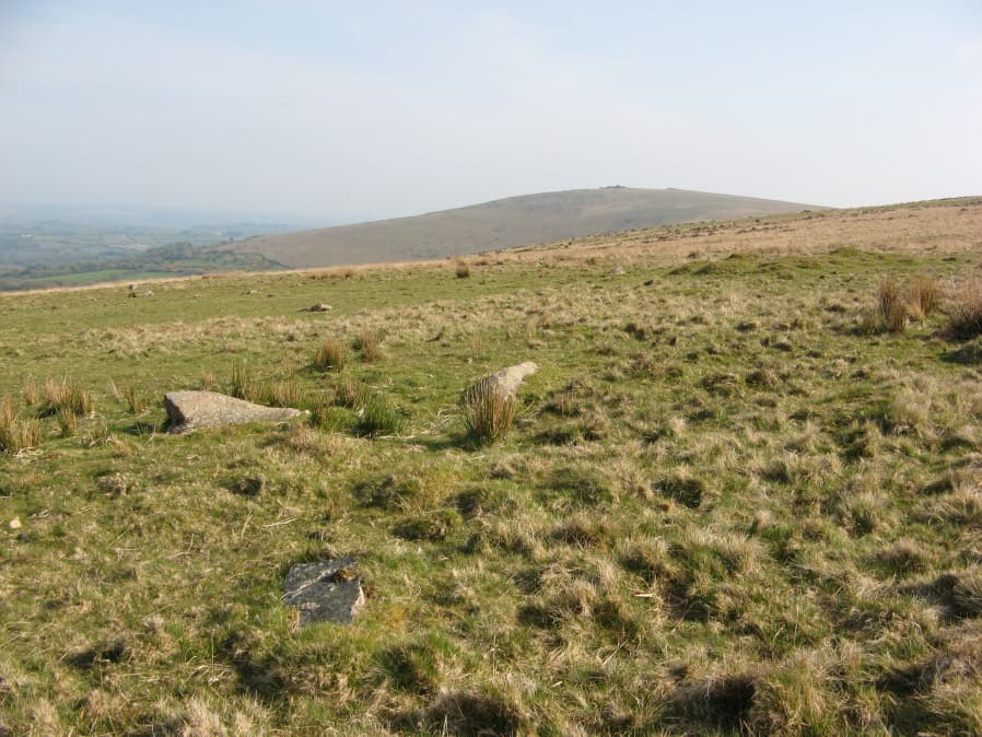
Photo taken on 22-04-2019
Database entries
PDW coverage: Dartmoor Walk: The Erme East stone rows
OS Map: SX 66100 60802
OS Source: HER
Butler OS: SX66106080
HER: MDV49561
Megalithic Portal: 1951
PMD: Glasscombe Corner Stone Row
Alternate name: Glasscombe Corner stone row
Short Name: CN GlasscombW1
Butler map: 56.12
Grinsell: UGBOROUGH 5
Turner: G28
Exist: Yes
Record: Unique
Record Source: Butler
Hut Class: No
Cairn Class: Yes
Dimensions (m): 3.5
Lidar: SX 66100 60802
Guide Map: 57
Nearest Bus Stop: South Brent Pool Park (5.5 km) [Route: 38]
Nearby sites: SX 66100 60802
Notes
Lower end of stone row. "A stone row, 300 yds S 41o W from Glasscombe Corner. The southern 368 feet are a double row and the northern 212 feet 6 inches a single row. The northern part has lost no stones and the change from double to single is abrupt and complete. At the S.W. end are the remains of a cairn and at the NE. end is a retaining circle with many of the stones fallen. It would appear thus that there was a grave at either end of the row. "References
These are selected references with an emphasis on out of copyright sources linked as PDFs. For more detailed references try any linked HER or PMD record above.
- Butler, Jeremy, Dartmoor Atlas of Antiquities, vol.4: The South-East, (1993)
- Grinsell, L.V., Dartmoor Barrows, Devon Archaeological Society Proceedings No.36 (1978)
- Turner, J.R., Ring Cairns, stone circles and related monuments on Dartmoor, D.A.S.P. No.48 pp.27-86 (1990)
- Worth, R. Hansford, The Stone Rows of Dartmoor Part 1, T.D.A. Vol.78 pp.285-316 (1946)