
Shovel Down Stone Circle
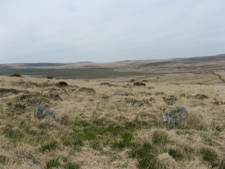
Photo taken on 16-05-2019
Database entries
PDW coverage: Dartmoor Site: Shovel Down Ceremonial Complex
OS Map: SX 65829 86196
OS Source: Garmin
HER: MDV29944
Megalithic Portal: 1259
PMD: Shovel Down Stone Circle
Alternate name: Shovel Down
Short Name: SC Shovel Down
Butler map: 36.6
Turner: G15
DPD page: 139
Exist: Yes
Record: Unique
Record Source: PDW
Hut Class: No
Dimensions (m): 16
Lidar: SX 65829 86196
Guide Map: 13
Nearest Bus Stop (Minor): Wonson Telephone Box (4.8 km) [Route: 670]
Nearest Bus Stop (Major): Chagford The Square (4.4 km) [Route: 173,178,671]
Nearby sites: SX 65829 86196
Notes
"The remains of an alleged stone circle lie on the gentle NE facing slope of Shovel Down 200m SW of Batworthy Corner. Three upright stones, between 0.3m and 0.75m high, are visible. The two close-set NE stones display smaller packing stones in the erosion hollows at their bases. The third stone is partly obscured by the bank of the South Hill Leat (SX 68 SW 97). It is possible that these stones constitute the remains of a stone circle however, no such feature is noted in the antiquarian records so it must remain a doubtful site". In fact a sketch of the Shovel Down rows made by Wilkinson in 1860 marks and illustrates "stones" at the location of the stone circle. For a photo, see Megalithic Portal: Shovel Down NW stone circle. Lethbridge pp.139-145, diagram p.139.References
These are selected references with an emphasis on out of copyright sources linked as PDFs. For more detailed references try any linked HER or PMD record above.
- Butler, Jeremy, Dartmoor Atlas of Antiquities, vol.2: The North, (1991)
- Gerrard, Sandy, English Heritage Book of Dartmoor: Landscapes Through Time, (1997)
- Lethbridge, William D., Discover Preshistoric Dartmoor, (2015)
- Turner, J.R., Ring Cairns, stone circles and related monuments on Dartmoor, D.A.S.P. No.48 pp.27-86 (1990)
- Worth, R. Hansford, The Prehistoric Monuments of Scorhill, Buttern Hill, and Shuggledown (Shoveldown), T.D.A. Vol.64 pp.280-287 (1932)