
Deadman's Bottom (E) Cairn
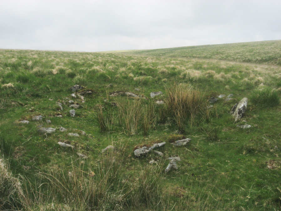
Photo taken on 04-06-2016
Database entries
PDW coverage: Dartmoor Site: Guide to the Langcombe Brook & Deadman's Bottom Cists
OS Map: SX 60788 66893
OS Source: Google
HER: MDV5118
Alternate name: Deadman's Bottom (E)
Short Name: CN Deadmans E
Butler map: 50.1
Grinsell: SHAUGH PRIOR 6
Turner: D28
Exist: Yes
Record: Unique
Record Source: Turner
Hut Class: Yes
Cairn Class: Yes
Dimensions (m): 7.0 x 0.2
Lidar: SX 60788 66893
Guide Map: 50
Nearest Bus Stop: Lee Moor Clearview (7.9 km) [Route: 59]
Nearby sites: SX 60788 66893
Notes
Worth considered this to be a cairn. It was excavated and it was found to be paved with reddened earth showing great fires had been present. Butler Circle 1. Butler suggests it could just have been a hut circle and the fires the consequence of domestic activity. He points out the presence of a settlement wall. However it is also very close to a pair of cists and could be a cairn. We are listing as a cairn although Butler could of course be right. This "circle" can be clearly seen in the Google satellite images. Previously listed at SX 60798 66895 (Garmin reading?), presumed SX 60788 66893 from Google.References
These are selected references with an emphasis on out of copyright sources linked as PDFs. For more detailed references try any linked HER or PMD record above.
- Butler, Jeremy, Dartmoor Atlas of Antiquities, vol.3: The South-West, (1994)
- Grinsell, L.V., Dartmoor Barrows, Devon Archaeological Society Proceedings No.36 (1978)
- Turner, J.R., Ring Cairns, stone circles and related monuments on Dartmoor, D.A.S.P. No.48 pp.27-86 (1990)