
Wigford Down 4 Embanked Cairn Circle
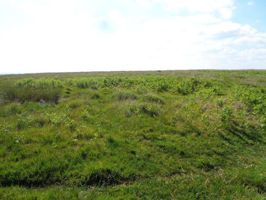
Photo taken on 18-06-2017
Database entries
OS Map: SX 54694 64972
OS Source: Garmin
Butler OS: SX54696496
HER: MDV2368
Megalithic Portal: 3536
Alternate name: Wigford Down 4
Short Name: CC Wigford 4
Butler map: 48.1.4
Grinsell: MEAVY 7a
Turner: A39
Exist: Yes
Record: Unique
Record Source: Butler
Hut Class: No
Cairn Class: Yes
Barrow Report: 12 62
Dimensions (m): 10.0 x 0.5
Lidar: SX 54694 64972
Guide Map: 46
Nearest Bus Stop: Shaugh Prior White Thorn Inn (2.5 km) [Route: 59]
Nearby sites: SX 54694 64972
Notes
Listed as Wigford Down B on Tom Greeves list of potential 'Sacred' Pools.NMR B. "Stone ring, diam 10.5m, with bank 2.5m wide and 0.5m high.3m wide entrance on s side" See Butler Vol 3 p.97 fig. 48.1.2. Wigford Down 3 in Barrow Report 62.
This ring cairn survives as a circular bank measuring up to 3.5 metres wide and 0.75 metres high which surrounds a flat interior up to 17.5 metres in diameter. There is evidence for partial early excavation or robbing on the south west side. Noted in 2019 as a possible 'sacred' pool.
References
These are selected references with an emphasis on out of copyright sources linked as PDFs. For more detailed references try any linked HER or PMD record above.
- Butler, Jeremy, Dartmoor Atlas of Antiquities, vol.3: The South-West, (1994)
- Greeves, T, Dartmoor's Sacred Pools - Design in the Prehistoric Landscape, Dartmoor Magazine 137 (2019)
- Grinsell, L.V., Dartmoor Barrows, Devon Archaeological Society Proceedings No.36 (1978)
- Turner, J.R., Ring Cairns, stone circles and related monuments on Dartmoor, D.A.S.P. No.48 pp.27-86 (1990)
- Worth, R. Hansford, Barrow Report 62, T.D.A. Vol.75 pp.53-55 (1943)
- Worth, R.N., Barrow Report 12, T.D.A. Vol.22 pp.49-52 (1890)