
Corn Ridge Encircled Cairn
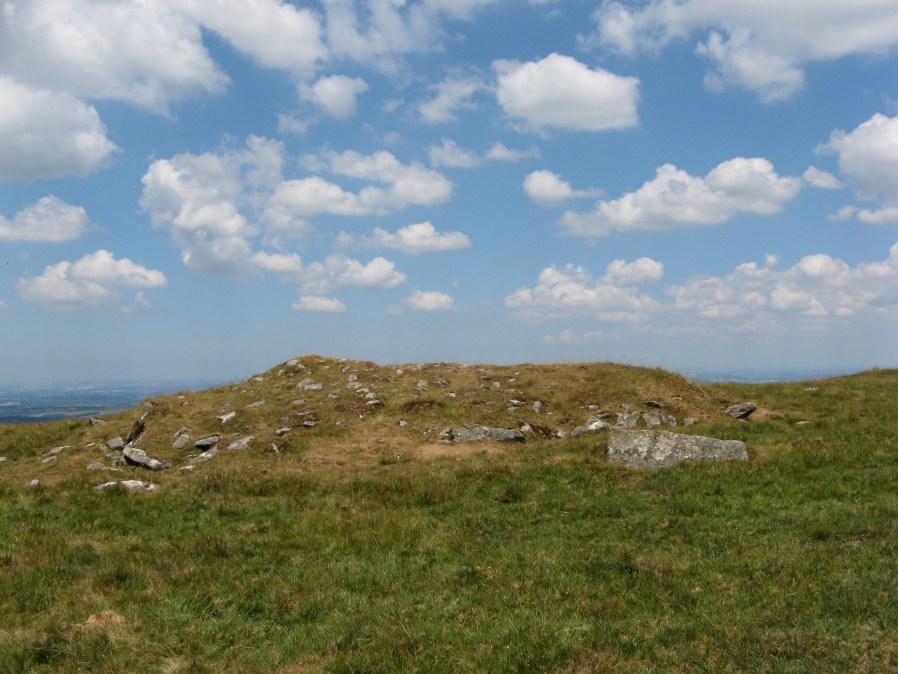
Photo taken on 08-07-2018
Database entries
OS Map: SX 55175 89119
OS Source: Google
Butler OS: SX55158917
HER: MDV3171
Megalithic Portal: 3158
Alternate name: Branscombe's Loaf 1
Short Name: EC Branscomb 1
Butler map: 43.12.1
Grinsell: BRIDESTOWE and SOURTON COMMON 9
Turner: F2
Exist: Yes
Record: Unique
Record Source: Butler
Hut Class: No
Cairn Class: Yes
Dimensions (m): 15.5 x 1.8
Lidar: SX 55175 89119
Guide Map: 5
Nearest Bus Stop: Sourton Windard Terrace (2.7 km) [Route: 118]
Nearby sites: SX 55175 89119
Notes
One of 4 cairns on Corn Ridge - see Turner "Ring Cairns, Stone Circles and Related Monuments on Dartmoor" DASP No. 48 p59 for diagram of the 4 cairns.References
These are selected references with an emphasis on out of copyright sources linked as PDFs. For more detailed references try any linked HER or PMD record above.
- Butler, Jeremy, Dartmoor Atlas of Antiquities, vol.2: The North, (1991)
- Crossing, William, Guide to Dartmoor, (2001)
- Gerrard, Sandy, English Heritage Book of Dartmoor: Landscapes Through Time, (1997)
- Grinsell, L.V., Dartmoor Barrows, Devon Archaeological Society Proceedings No.36 (1978)
- Turner, J.R., Ring Cairns, stone circles and related monuments on Dartmoor, D.A.S.P. No.48 pp.27-86 (1990)