
Scorhill N.1 Cairn
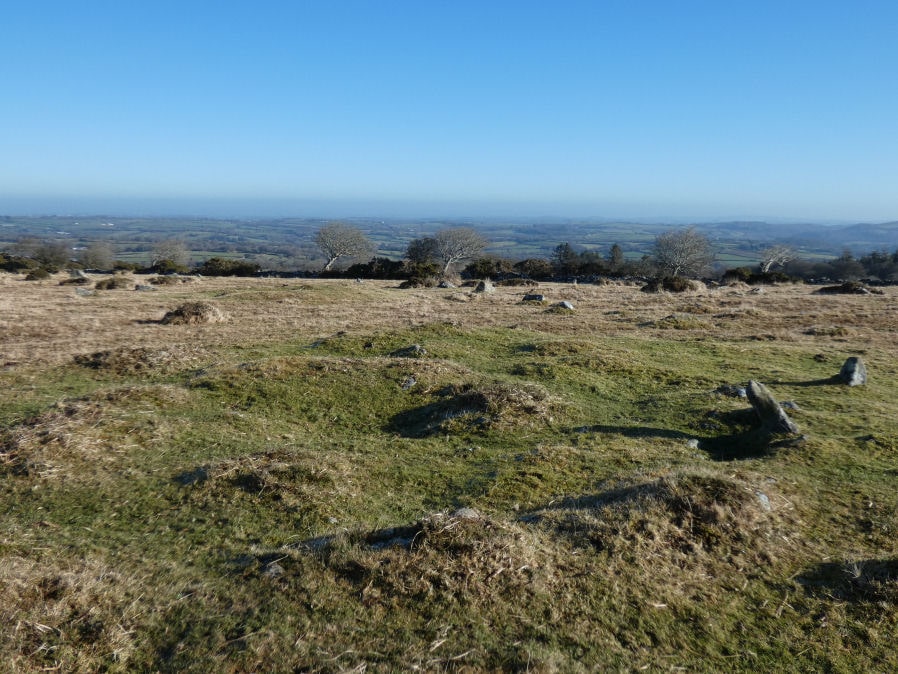
Photo taken on 06-02-2025
Database entries
OS Map: SX 65740 87734
OS Source: Google
Butler OS: SX65738770
HER: MDV6201
Alternate name: Scorhill N.1
Short Name: CN Scorhill N1
Butler map: 38.10.1
Butler Vol 5: p.186 & Fig.129
Grinsell: GIDLEIGH 4
Exist: Yes
Record: Unique
Record Source: Butler
Hut Class: No
Cairn Class: Yes
Dimensions (m): 11.0 x 0.4
Lidar: SX 65740 87734
Guide Map: 12
Nearest Bus Stop (Minor): Wonson Telephone Box (3.1 km) [Route: 670]
Nearest Bus Stop (Major): Chagford The Square (4.3 km) [Route: 173,178,671]
Nearby sites: SX 65740 87734
Notes
Entry added by PDW to correct/replace Butler 38.10.1 One of a pair of cairns on the eastern edge of Gidleigh Common. Scheduled. Round cairn with two kerbs, 7.5 metres and 9.5 metres in diameter. Central disturbance. See also Butler Vol 5 p. 249 fig. 175References
These are selected references with an emphasis on out of copyright sources linked as PDFs. For more detailed references try any linked HER or PMD record above.
- Butler, Jeremy, Dartmoor Atlas of Antiquities, vol.2: The North, (1991)
- Butler, Jeremy, Dartmoor Atlas of Antiquities, vol.5: The Second Millennium B.C., (1997)
- Grinsell, L.V., Dartmoor Barrows, Devon Archaeological Society Proceedings No.36 (1978)