
Corn Ridge W.4.3 Clearance Cairn
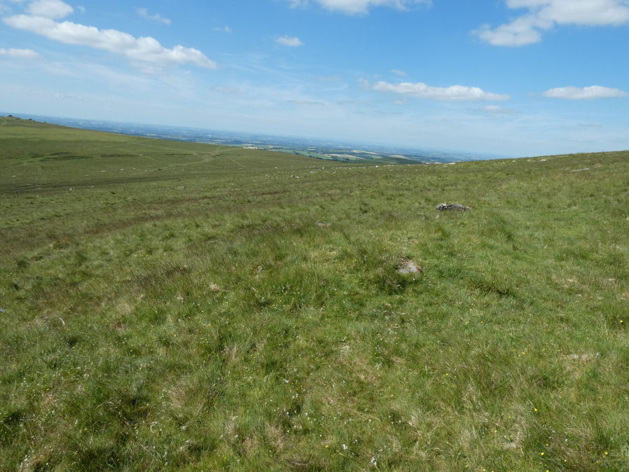
Photo taken on 20-06-2022
Database entries
OS Map: SX 54600 89130
OS Source: Garmin
HER: MDV52424
Alternate name: Corn Ridge W.4.3
Short Name: CN CornRg W4.3
Exist: Yes
Record: Unique
Record Source: HER
Hut Class: No
Cairn Class: Yes
Dimensions (m): 3.3 x 0.6
Lidar: SX 54600 89130
Guide Map: 5
Nearest Bus Stop: Sourton Windard Terrace (2.1 km) [Route: 118]
Nearby sites: SX 54600 89130
Notes
"Vis=30/4/1993 (gerrard) oblong mound.4m by 3.3m by 0.6m high"References
These are selected references with an emphasis on out of copyright sources linked as PDFs. For more detailed references try any linked HER or PMD record above.
- Butler, Jeremy, Dartmoor Atlas of Antiquities, vol.2: The North, (1991)