
Hingston Hill Summit 2 Reported Cairn
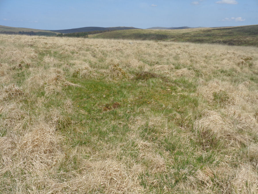
Photo taken on 19-05-2018
Database entries
OS Map: SX 58753 69483
OS Source: Garmin
Butler OS: SX58746948
HER: MDV130432
Alternate name: Hingston Hill Summit 2
Short Name: CN-Hingston 2
Butler map: 47.12.2
Exist: Yes
Record: Unique
Record Source: Butler
Hut Class: No
Cairn Class: Maybe
Dimensions (m): 4.0 x 0.4
Lidar: SX 58753 69483
Guide Map: 43
Nearest Bus Stop: Princetown Dartmoor Visitor Centre (5.2 km) [Route: 98,171(20/07/26 to 19/09/26)]
Nearby sites: SX 58753 69483
Notes
Butler: "Another burial mound lies just over the crest 220 m to the north [of te Down Tor cairn and row], an inconspicuous mound at the centre close to a line of tinners' pits". No entry in NMR or HER.References
These are selected references with an emphasis on out of copyright sources linked as PDFs. For more detailed references try any linked HER or PMD record above.
- Butler, Jeremy, Dartmoor Atlas of Antiquities, vol.3: The South-West, (1994)