
Yellowmeade 2 Reported Cist
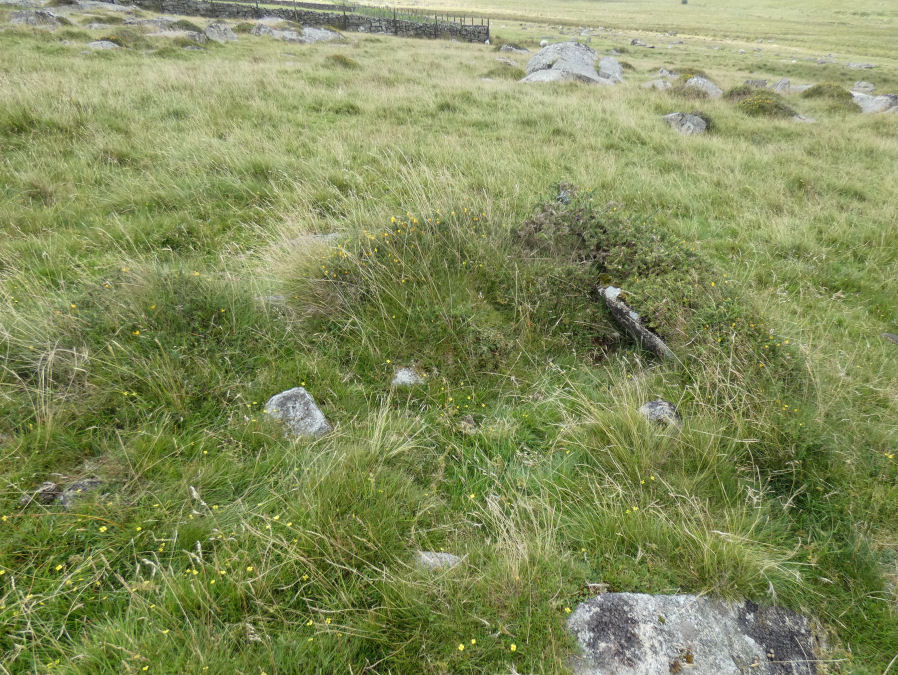
Photo taken on 30-07-2025
Database entries
OS Map: SX 56460 74413
OS Source: Garmin
Butler OS: SX56467442
HER: MDV28491
Alternate name: Yellowmeade 2
Short Name: CN Yellowm Fm2
Butler map: 44.1.2
Exist: Yes
Record: Unique
Record Source: Butler
Hut Class: No
Cist Class: Maybe
Cairn Class: Yes
Dimensions (m): 3.0 x 4.5 x 0.3
Lidar: SX 56460 74413
Guide Map: 33
Nearest Bus Stop: Merrivale Dartmoor Inn (2.3 km) [Route: 98,171(20/07/26 to 19/09/26)]
Nearby sites: SX 56460 74413
Notes
HER: a cairn, of possibly prehistoric date measuring 3.3m across x 0.3m high, with no definite kerb but one recumbent slab stone on the east side. It is near a ruined hut circle and a newtake wall may indicate a collection heap for wall construction. Butler: Yellowmeade Cairn '2' at SX56467442 of 3.0 metres by 4.5 metres by 0.3 metres high. Oval mound lying a few metres from Hut Circle '9' which was obviously the source of its stones. Gerrard: Round cairn 4m by 3.5m by 0.5m high. Cist. Large number of large stones protruding. Several stones are edge set. Low grass cover.Barrow Report 67 and Gerrard suggest this could be a cist.
References
These are selected references with an emphasis on out of copyright sources linked as PDFs. For more detailed references try any linked HER or PMD record above.
- Butler, Jeremy, Dartmoor Atlas of Antiquities, vol.3: The South-West, (1994)
- Worth, R. Hansford, Barrow Report 67, T.D.A. Vol.80 p.37 (1948)