
Corn Ridge W.3 Cairn
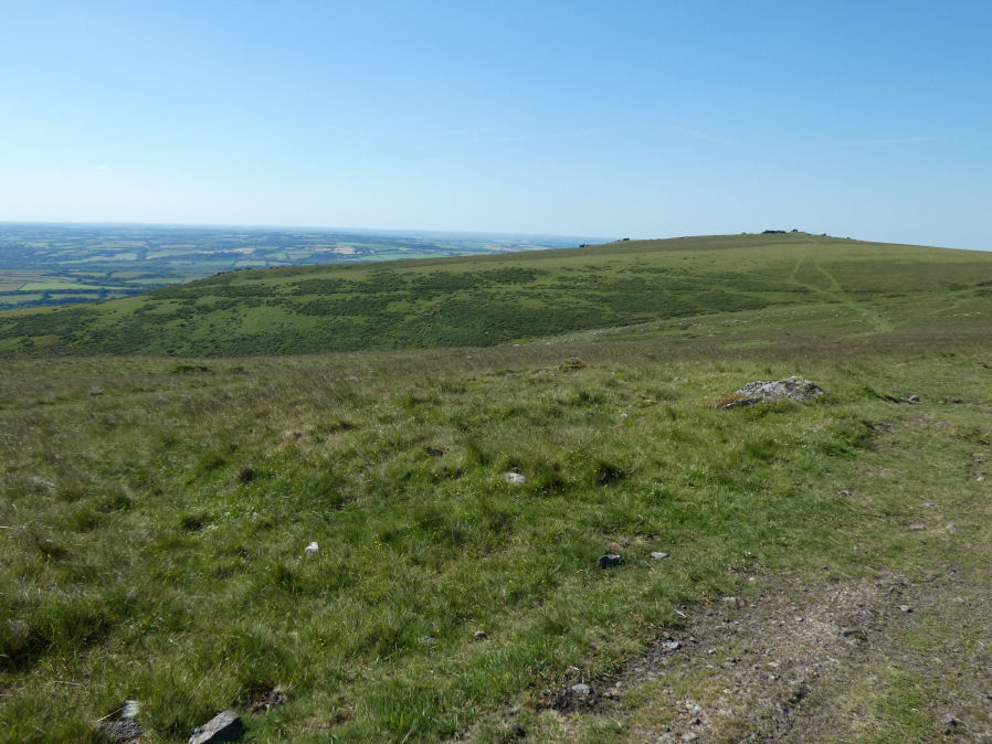
Photo taken on 22-06-2022
Database entries
OS Map: SX 54468 89125
OS Source: Garmin
Butler OS: SX54468914
HER: MDV12846
Alternate name: Corn Ridge W.3
Short Name: CN CornRg W3
Butler map: 43.9
Grinsell: BRIDESTOWE and SOURTON COMMON 2
Exist: Yes
Record: Unique
Record Source: Butler
Hut Class: No
Cairn Class: Yes
Dimensions (m): 10.0 x 0.3
Lidar: SX 54468 89125
Guide Map: 5
Nearest Bus Stop: Sourton Windard Terrace (2.1 km) [Route: 118]
Nearby sites: SX 54468 89125
Notes
Cairn mound measures 9.3 metres in diameter and stands up to 0.7 metres high. A shallow hollow in the centre of the mound, measuring 1.5 metres long, 1.3 metres wide and 0.2 metres deep, and another on the western edge, measuring 2.0 metres square and 0.4 metres deep, suggest partial early excavation or robbing.References
These are selected references with an emphasis on out of copyright sources linked as PDFs. For more detailed references try any linked HER or PMD record above.
- Butler, Jeremy, Dartmoor Atlas of Antiquities, vol.2: The North, (1991)
- Grinsell, L.V., Dartmoor Barrows, Devon Archaeological Society Proceedings No.36 (1978)