
Corn Ridge W.4.2 Cairn
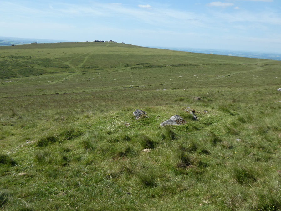
Photo taken on 20-06-2022
Database entries
OS Map: SX 54565 89205
OS Source: Garmin
Butler OS: SX54558925
HER: MDV52423
Alternate name: Corn Ridge W.4.2
Short Name: CN CornRg W4.2
Butler map: 43.4.2
Exist: Yes
Record: Unique
Record Source: Butler
Hut Class: No
Cairn Class: Yes
Dimensions (m): 6.0 x 4 x 0.7
Lidar: SX 54565 89205
Guide Map: 5
Nearest Bus Stop: Sourton Windard Terrace (2.1 km) [Route: 118]
Nearby sites: SX 54565 89205
Notes
(gerrard) largest of 4 cairns.6m by 4m by 0.7m high. May represent a partly damaged funerary cairn, which was incorporated into the later field system. NMR A. NB. Visited by author on 20/06/22 and again on 22/06/22 when it was noted that walling traces in and out of this site which is consistent with other accounts of this site (relevance being many sites in close proximity leading to confusing records).References
These are selected references with an emphasis on out of copyright sources linked as PDFs. For more detailed references try any linked HER or PMD record above.
- Butler, Jeremy, Dartmoor Atlas of Antiquities, vol.2: The North, (1991)