
Great Nodden 15 Cairn
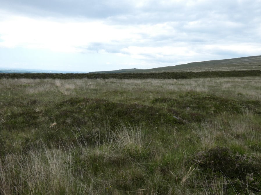
Photo taken on 03-06-2022
Database entries
OS Map: SX 54225 87874
OS Source: Garmin
Butler OS: SX54258788
HER: MDV12847
Alternate name: Great Nodden 15
Short Name: CN Great Nod15
Butler map: 43.7.15
Grinsell: BRIDESTOWE and SOURTON COMMON 5
Exist: Yes
Record: Unique
Record Source: Butler
Hut Class: No
Cist Class: Maybe
Cairn Class: Yes
Dimensions (m): 8.5 x 0.3
Lidar: SX 54225 87874
Guide Map: 9
Nearest Bus Stop: Fox and Hounds Hotel (2.7 km) [Route: 118]
Nearby sites: SX 54225 87874
Notes
"Cairn mound measures 11m north-east to south-west by 7m north-west to south-east and stands up to 0.5m high. Two narrow trenches cut into either end of the mound, represent partial early excavation or robbing. The north trench measures 3m by 1.2m by 0.2m deep, whilst the southern one is 2.5m by 1m wide by 0.1m deep." Visit 3 June 2022 on which I recorded a cist-shaped trench. The HER refers to trenches dug into this cairn.References
These are selected references with an emphasis on out of copyright sources linked as PDFs. For more detailed references try any linked HER or PMD record above.
- Butler, Jeremy, Dartmoor Atlas of Antiquities, vol.2: The North, (1991)
- Grinsell, L.V., Dartmoor Barrows, Devon Archaeological Society Proceedings No.36 (1978)