
Great Nodden 4 Cairn
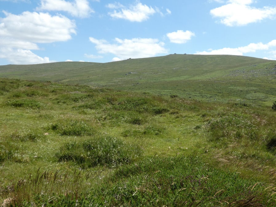
Photo taken on 20-06-2022
Database entries
OS Map: SX 53249 86629
OS Source: Garmin
Butler OS: SX53248620
HER: MDV51450
Alternate name: Great Nodden 4
Short Name: CN Great Nod 4
Butler map: 43.7.4
Exist: Yes
Record: Unique
Record Source: Butler
Hut Class: No
Cairn Class: Yes
Dimensions (m): 17.5 x 0.3
Lidar: SX 53249 86629
Guide Map: 9
Nearest Bus Stop: Fox and Hounds Hotel (0.9 km) [Route: 118]
Nearby sites: SX 53249 86629
Notes
Ring cairn. "Earthwork survives as a circular bank, 2.3m wide and 0.3m high surrounding an internal area measuring 13.4m in diameter. A mound measuring 6m in diam and 0.2m high stands in the centre of the area enclosed by the circular bank (mpp)". The grid reference given by Butler is a rare mistake. The Butler 43 map and the description make it clear the site is actually located in the vicinity of SX 5324 8660 which is around 400m north the grid reference given on p.245. This corrected grid reference corresponds with the cairn listed here. Visit on 20/06/22 resulted in the photo used. Follow up visit 28/04/23 - found again with difficulty despite having correct grid reference. Not easy to see in the vegetation but it is clearly there and for that reason the entry has been changed from reported cairn to cairn.References
These are selected references with an emphasis on out of copyright sources linked as PDFs. For more detailed references try any linked HER or PMD record above.
- Butler, Jeremy, Dartmoor Atlas of Antiquities, vol.2: The North, (1991)