
Cator Common Embanked Cairn Circle
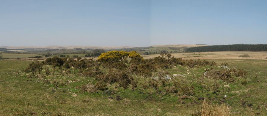
Photo taken on 18-04-2010
Database entries
PDW coverage: Dartmoor Site: Cator Pound
OS Map: SX 67426 78001
OS Source: Google
Butler OS: SX67427799
HER: MDV5978
Megalithic Portal: 52173
Alternate name: Cator Common
Short Name: CC CatorCommon
Butler map: 18.4
Grinsell: WIDECOMBE IN THE MOOR 1
Turner: B3
Exist: Yes
Record: Unique
Record Source: Butler
Hut Class: No
Cairn Class: Yes
Dimensions (m): 18
Lidar: SX 67426 78001
Guide Map: 28
Nearest Bus Stop: Postbridge Bellever (2.6 km) [Route: 98]
Nearby sites: SX 67426 78001
Notes
HER: Cairn, hollow towards centre. Retaining circle of c.28 upright slabs, mostly turned inwards. Diameter 18.0m, height 0.6m. Breton p.41References
These are selected references with an emphasis on out of copyright sources linked as PDFs. For more detailed references try any linked HER or PMD record above.
- Breton, Henry Hugh, The Heart of Dartmoor, (1926)
- Butler, Jeremy, Dartmoor Atlas of Antiquities, vol.1: The East, (1991)
- Crossing, William, Guide to Dartmoor, (2001)
- Grinsell, L.V., Dartmoor Barrows, Devon Archaeological Society Proceedings No.36 (1978)
- Turner, J.R., Ring Cairns, stone circles and related monuments on Dartmoor, D.A.S.P. No.48 pp.27-86 (1990)