
Stalldown SE Round House
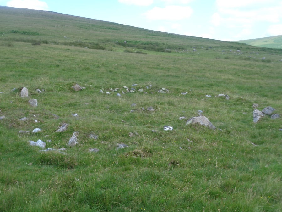
Photo taken on 16-07-2021
Database entries
OS Map: SX 63767 61144
OS Source: Sandy
HER: MDV4259
Alternate name: Stalldown SE
Short Name: HT Stalldown48
Exist: Yes
Record: Unique
Record Source: Sandy
Hut Class: Yes
Lidar: SX 63767 61144
Guide Map: 56
Nearest Bus Stop: Cornwood Crossways (4.7 km) [Route: 59]
Nearby sites: SX 63767 61144
References
These are selected references with an emphasis on out of copyright sources linked as PDFs. For more detailed references try any linked HER or PMD record above.
- Newman, Phil, The Upper Erme Valley Dartmoor National Park Devon An Archaeological Survey, Southwest Landscape Investigations (2018)