
Crad Hole Ring Enclosed Settlement
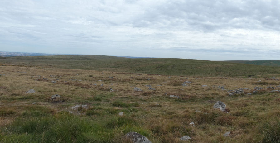
Photo taken on 08-08-2026
Database entries
OS Map: SX 67234 66512
OS Source: Google
HER: MDV5294
Alternate name: Hickaton Hill
Short Name: ES CradHole
Butler map: 58.2
Butler Vol 5: p.137
Exist: Yes
Record: Unique
Record Source: PDW
Lidar: SX 67234 66512
Guide Map: 45
Nearest Bus Stop: Buckfast Higher Mill Lane (8.7 km) [Route: 88]
Nearby sites: SX 67234 66512
Notes
HER: An enclosed hut group and one external hut on a south facing slope. The sub circular enclosure is of 0.25 ha and has tumbled walling of small stones and double orthostats. The walling is 2.0 m wide and 0.7 m high with possible entrances on the south-west and eastern sides. The general condition is poor. The majority of the huts have levelled interiors with entrances on the south. The internal diameters are from 2.0 m to 7.5 m with a mean of 5.5 m and walling averaging 1.5 m thick and 0.6 m high.Butler: Single enclosure 'Crad Hole Ring' is isolated from other Avon settlements at the haed of an east facing combe overlooking Brockhill Mires. Large boulders compose the circuit wall mainly spread to 3.0 metres but defined in places by slabs set on edge about 2 metres apart. A line of blocks separates a small part of the north-western interior. Of the several breaks in the wall only that on the south-east side shows signs of being an original entrance for the walls curve in slightly towards it. At the centre of the pound are two pairs of huts in fair condition and entered from the south. Originally there seems to have been a third pair with the larger hut converted into a cairn with stones piled into the interior and a small pillar erected in the centre.
References
These are selected references with an emphasis on out of copyright sources linked as PDFs. For more detailed references try any linked HER or PMD record above.
- Butler, Jeremy, Dartmoor Atlas of Antiquities, vol.4: The South-East, (1993)
- Butler, Jeremy, Dartmoor Atlas of Antiquities, vol.5: The Second Millennium B.C., (1997)