
Watchet Hill Cairn
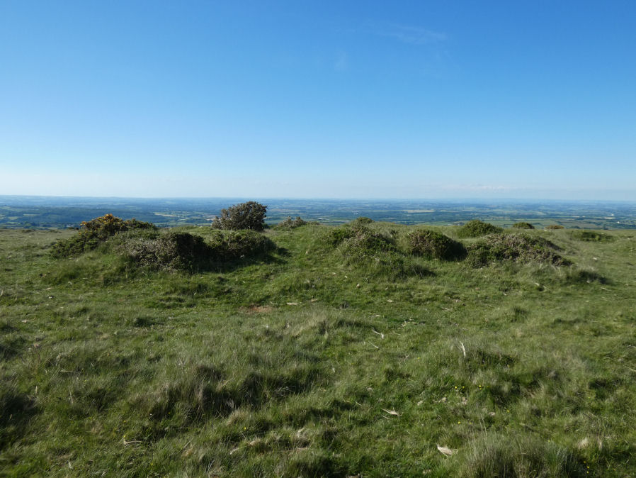
Photo taken on 02-06-2022
Database entries
OS Map: SX 61477 93055
OS Source: Google
Butler OS: SX61519305
HER: MDV13049
Megalithic Portal: 23222
Alternate name: Watchet Hill
Short Name: CN WatchetHill
Butler map: 40.12
Grinsell: BELSTONE 3
Exist: Yes
Record: Unique
Record Source: Butler
Hut Class: No
Cairn Class: Yes
Dimensions (m): c.14.0 x 0.8
Lidar: SX 61477 93055
Guide Map: 2
Nearest Bus Stop (Minor): Belstone Car Park (1.3 km) [Route: 670]
Nearest Bus Stop (Major): Belstone Tongue End Cross (2.0 km) [Route: 178,670,671,6A]
Nearby sites: SX 61477 93055
Notes
"A Bronze Age round cairn situated on the summit of Watchet Hill. The cairn survives as a 0.8 metre high oval mound measuring 16.6 metres long north to south by 13.8 metres wide east to west. A T-shaped trench, the consequence of a partial early excavation, cuts through the central part of the mound. Adjacent to the south eastern side of the mound there is a 2.3 metre wide and 0.2 metre deep ditch. This represents the remains of the quarry ditch from which material was derived during the construction of the cairn. The ditch would have originally surrounded the mound but now survives largely as a buried feature."References
These are selected references with an emphasis on out of copyright sources linked as PDFs. For more detailed references try any linked HER or PMD record above.
- Butler, Jeremy, Dartmoor Atlas of Antiquities, vol.2: The North, (1991)
- Crossing, William, Guide to Dartmoor, (2001)
- Grinsell, L.V., Dartmoor Barrows, Devon Archaeological Society Proceedings No.36 (1978)
- Prowse, Arthur B., Notes on the Neighbourhood of Taw Marsh, North Dartmoor, T.D.A. Vol.22 pp.185-199 (1890)