
Upper Erme Cairn
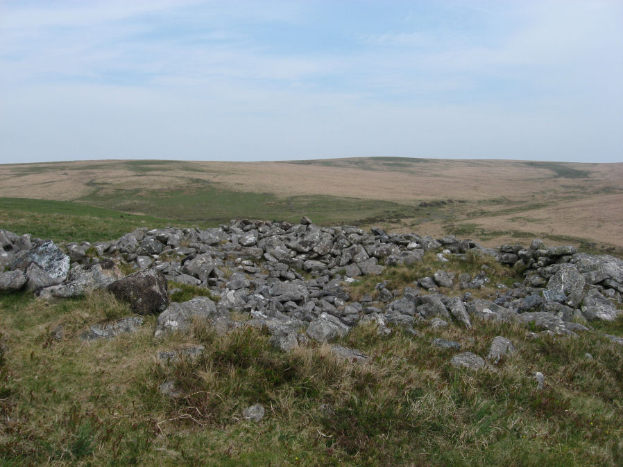
Photo taken on 26-04-2011
Database entries
OS Map: SX 63522 64958
OS Source: Google
Butler OS: SX63516495
HER: MDV4366
Megalithic Portal: 15210
Alternate name: Erme Plains
Short Name: CN Upper Erme
Butler map: 55.7.2
Grinsell: CORNWOOD 9
Exist: Yes
Record: Unique
Record Source: Butler
Hut Class: No
Cairn Class: Yes
Dimensions (m): 16.0 x 1.5
Lidar: SX 63522 64958
Guide Map: 51
Nearest Bus Stop: Cornwood Crossways (8.1 km) [Route: 59]
Nearby sites: SX 63522 64958
Notes
"A round cairn, measuring 13.8 to 14.6m diameter and 1.0m high. It lies on a false crest, adjacent to a stone row, SX 66 NW 20, and just above the River Erme, at 380m above OD, is constructed of small boulders, and has a central hollow, 0.7m deep. In fair condition, though a small shelter has been built on its north side." The photo used here was taken in 2011 and attached to this record retrospectively in 2020 - identification is most probable but not 100% certain.References
These are selected references with an emphasis on out of copyright sources linked as PDFs. For more detailed references try any linked HER or PMD record above.
- Butler, Jeremy, Dartmoor Atlas of Antiquities, vol.4: The South-East, (1993)
- Grinsell, L.V., Dartmoor Barrows, Devon Archaeological Society Proceedings No.36 (1978)
- Newman, Phil, The Upper Erme Valley Dartmoor National Park Devon An Archaeological Survey, Southwest Landscape Investigations (2018)