
Horns Cross N. Cairn
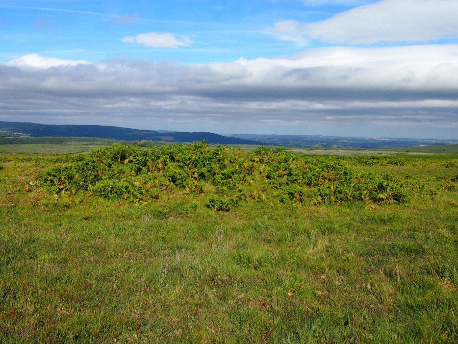
Photo taken on 15-07-2016
Database entries
OS Map: SX 66941 71187
OS Source: Garmin
Butler OS: SX66937118
HER: MDV26276
Megalithic Portal: 27342
Alternate name: Holne Ridge N.5
Short Name: CN HolneRidg 5
Butler map: 60.26.5
Grinsell: HOLNE 2
Exist: Yes
Record: Unique
Record Source: Butler
Hut Class: No
Cairn Class: Maybe
Dimensions (m): 13.0 X 1.4
Lidar: SX 66941 71187
Guide Map: 40
Nearest Bus Stop: Postbridge Bellever (8.2 km) [Route: 98]
Nearby sites: SX 66941 71187
Notes
"A turf and bracken covered Bronze Age cairn forming part of a cairn cemetery on Holne Ridge. The mound measures 14 metres by 14.4 metres in diameter and standing to a height of 1.4 metres. " Butler cairn 5 map 60.15. UPDATE 03/01/2023 This record formerly linked with MDV12975 which has been deleted.It is unclear but this record now realte to MDV26276 which is a "tin-working spoil dump".
References
These are selected references with an emphasis on out of copyright sources linked as PDFs. For more detailed references try any linked HER or PMD record above.
- Butler, Jeremy, Dartmoor Atlas of Antiquities, vol.4: The South-East, (1993)
- Grinsell, L.V., Dartmoor Barrows, Devon Archaeological Society Proceedings No.36 (1978)