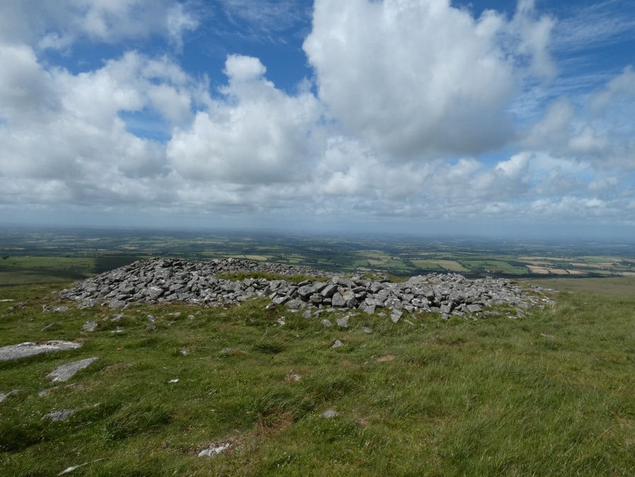
Yes Tor W Cairn

Photo taken on 26-06-2022

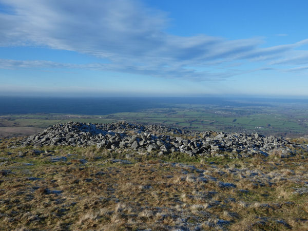
View of cairn on a frosty day 27-12-2025
Database entries
OS Map: SX 57955 90210
OS Source: Google
Butler OS: SX57969021
HER: MDV4813
Megalithic Portal: 36416
Alternate name: Yes Tor 1
Short Name: CN Yes Tor W
Butler map: 42.1.1
Grinsell: OKEHAMPTON HAMLETS 1
Exist: Yes
Record: Unique
Record Source: Butler
Hut Class: No
Cairn Class: Yes
Dimensions (m): 29
Lidar: SX 57955 90210
Guide Map: 6
Nearest Bus Stop: Okehampton Railway Station (5.7 km) [Route: 118,306,6A]
Nearby sites: SX 57955 90210
Notes
Western of two round barrows on the summit of yes tor. About 36.6m nw of flag staff on the top of yes tor is an incomplete ring of rough granite boulders varying in size but generally 0.3m - 0.9m. Long. The ring is about 6.1m long and is defective on the north east side where there is evidence of a slightly sunken trackway. In the interior of this ring the ground is slightly irregular and contains blocks of granite. At the south western part of the circle a smaller circle of stones abuts on the previous circle. Butler Volume 2 Map 42.1.References
These are selected references with an emphasis on out of copyright sources linked as PDFs. For more detailed references try any linked HER or PMD record above.
- Butler, Jeremy, Dartmoor Atlas of Antiquities, vol.2: The North, (1991)
- Crossing, William, Guide to Dartmoor, (2001)
- Grinsell, L.V., Dartmoor Barrows, Devon Archaeological Society Proceedings No.36 (1978)
- Newman, Phil, Archaeological Sites within Okehampton Training Area, Southwest Landscape Investigations (2014)