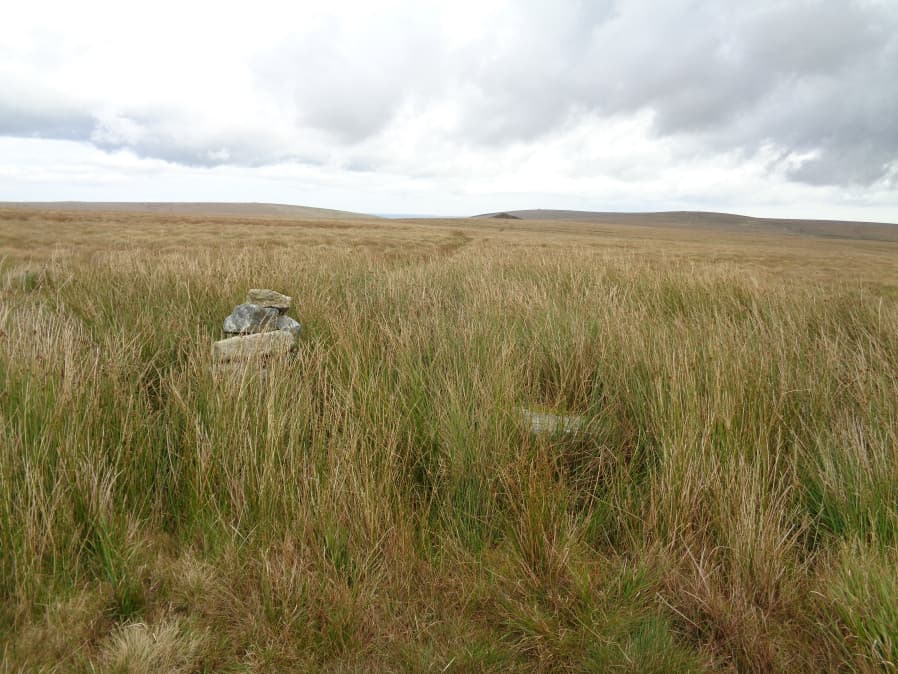
Green Hill Cairn

Photo taken on 18-09-2017
Database entries
OS Map: SX 63665 67796
OS Source: Garmin
Butler OS: SX63666779
HER: MDV5106
Megalithic Portal: 2143
PMD: Green Hill
Alternate name: Green Hill
Short Name: CN GreenHill
Butler map: 55.7.4
Grinsell: LYDFORD 101
DPD page: 72
Exist: Yes
Record: Unique
Record Source: Butler
Hut Class: No
Cist Class: Maybe
Cairn Class: Yes
Barrow Report: 14
Dimensions (m): 9.0 x 0.4
Lidar: SX 63665 67796
Guide Map: 51
Nearest Bus Stop: Dartmeet Badgers Holt (8.5 km) [Route: 172]
Nearby sites: SX 63665 67796
Notes
"Cairn on the summit of Green Hill is the northern terminal of the stone row (SX 66 NW 20 but see also SX 66 NW 101 for cairn which may extend the row). Diameter 9m, height 0.7m. The possible remains of a central cist are indicated by a group of large stone slabs".References
These are selected references with an emphasis on out of copyright sources linked as PDFs. For more detailed references try any linked HER or PMD record above.
- Butler, Jeremy, Dartmoor Atlas of Antiquities, vol.4: The South-East, (1993)
- Falcon, T.A., Dartmoor: A Note On Graves, T.D.A. Vol.37 pp.457-461 (1905)
- Grinsell, L.V., Dartmoor Barrows, Devon Archaeological Society Proceedings No.36 (1978)
- Lethbridge, William D., Discover Preshistoric Dartmoor, (2015)
- Lukis, W.C, Report on the Monuments of Dartmoor, Proceeding of the Society of Antiquaries Vol.8 (1881)
- Newman, Phil, The Upper Erme Valley Dartmoor National Park Devon An Archaeological Survey, Southwest Landscape Investigations (2018)
- Rowe, Samuel, A Perambulation of Dartmoor (3rd Edition), (1896)
- Worth, R. Hansford, The Erme, Yealm and Torry part 1, T.P.I. Vol.11 part 1 pp.173-183 (1892)
- Worth, R. Hansford, Retaining circles associated with stone rows Dartmoor, T.D.A. Vol.73 pp.227-38 (1941)
- Worth, R.N., The Stone Rows of Dartmoor - Part 1, T.D.A. Vol.24 pp.387-417 (1892)
- Worth, R.N., Barrow Report 14, T.D.A. Vol.24 (1892)