
Sharpitor W. (Peek Hill) Cairn Circle
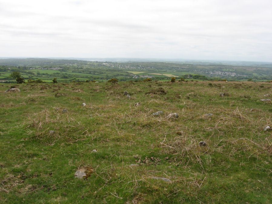
Photo taken on 25-05-2015
Database entries
PDW coverage: Dartmoor Walk: Sharpitor area Stone Rows and Cists
OS Map: SX 55056 70751
OS Source: Garmin
Butler OS: SX55057074
HER: MDV5011
Megalithic Portal: 52566
PMD: Sharpitor W Stone Row
Alternate name: Sharpitor W. stone row
Short Name: CC Sharpitor W
Butler map: 45.11
Grinsell: WALKHAMPTON 18
DPD page: 20
Exist: Yes
Record: Unique
Record Source: Butler
Hut Class: No
Cairn Class: Yes
Dimensions (m): 8.9 x 0.3
Lidar: SX 55056 70751
Guide Map: 38
Nearest Bus Stop: Walkhampton Memorial (2.6 km) [Route: 55,56]
Nearby sites: SX 55056 70751
Notes
"The cairn lies on a gentle sw slope ne of horseyeatt farm, with a stone row see sx57se/141 running sw from it. The cairn is about 7m in diameter and 0.6m height, partly turf-covered, with a central hollow. The visible set stones within the cairn suggest two or three underlying concentric stone circles. These stones have a maximum height of 0.2m and are predominantly set with their long axes tangential to the circle". Lethbridge pp.19-20, diagram p.19.References
These are selected references with an emphasis on out of copyright sources linked as PDFs. For more detailed references try any linked HER or PMD record above.
- Butler, Jeremy, Dartmoor Atlas of Antiquities, vol.3: The South-West, (1994)
- Fox, Aileen, 27th Report on Archaeology and Early History, T.D.A. Vol.95 pp.74-86 (1963)
- Grinsell, L.V., Dartmoor Barrows, Devon Archaeological Society Proceedings No.36 (1978)
- Lethbridge, William D., Discover Preshistoric Dartmoor, (2015)
- Newman, Phil, An Archaeological Survey of an area of Walkhampton Common, Dartmoor National Park, Devon, Southwest Landscape Investigations (2019)
- Robinson, Rosmary and Cosford, Judith, Dartmoor multiple stone circles, D.A.S.P. No.44 pp.166-170 (1986)