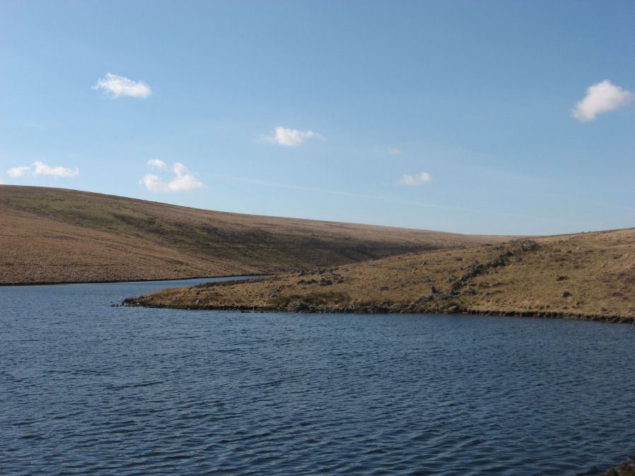
Dean Moor Enclosed Settlement

Photo taken on 25-03-2016
Database entries
OS Map: SX 67741 65458
OS Source: Constructed
HER: MDV14799
Megalithic Portal: 45324
Alternate name: Dean Moor
Short Name: ES Dean Moor
Exist: Yes
Record: Unique
Record Source: PDW
Hut Class: No
Lidar: SX 67741 65458
Guide Map: 52
Nearest Bus Stop: South Brent Pool Park (7.9 km) [Route: 38]
Nearby sites: SX 67741 65458
Notes
Enclosed settlement on Dean Moor, excavated between 1954 and 1956, prior to construction of the reservoir. Prehistoric walled enclosure containing at least 13 huts together with pens. Parallels have been drawn with the settlement at Kestor. Part of the prehistoric settlement was incorporated into a medieval farmstead (see HER record 14221). Part of site now flooded by Avon Reservoir.References
These are selected references with an emphasis on out of copyright sources linked as PDFs. For more detailed references try any linked HER or PMD record above.
- Fox, Aileen, Excavations on Dean Moor, in the Avon Valley, T.D.A. Vol.89 pp.18-77 (1957)
- Gerrard, Sandy, English Heritage Book of Dartmoor: Landscapes Through Time, (1997)
- Greeves, T, The Archaeology of Dartmoor from the Air, (1985)