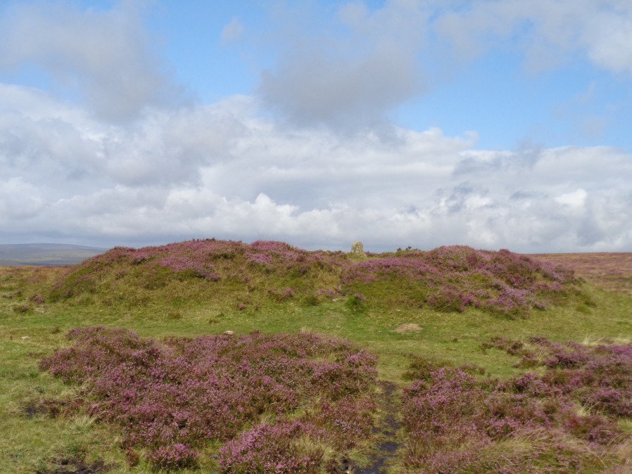
Two Barrows Stone Ring Cairn Circle

Photo taken on 19-08-2017
Database entries
OS Map: SX 70654 79219
OS Source: Google
Butler OS: SX70647920
HER: MDV7409
Megalithic Portal: 16632
Alternate name: Two Barrows 1
Short Name: RC TwoBarrows1
Butler map: 20.11.1
Butler Vol 5: p.23 & Fig.106
Grinsell: MANATON 12
Exist: Yes
Record: Unique
Record Source: Butler
Hut Class: No
Cairn Class: Yes
Barrow Report: 21 56
Dimensions (m): 17.0 x 1.4
Lidar: SX 70654 79219
Guide Map: 29
Nearest Bus Stop (Minor): Widecombe in the Moor Car Park (3.5 km) [Route: 271]
Nearest Bus Stop (Major): Warren House Inn (3.6 km) [Route: 171]
Nearby sites: SX 70654 79219
Notes
"The northern barrow was excavated in 1872. It measures 40 feet in diameter and 4 1/2 feet high. A ring of stones encircled the barrow and in the centre was a small cairn. A cremation burial was found to the SE of the centre covered by five flat stones. With the cremation was the blade of a bronze dagger and a pommel made from amber with a decoration consisting of rows of gold pins" See: Bate, C Spence, Researches into Some Antient Tumuli on Dartmoor, T.D.A. Vol. 5 pp.549-58 (1872). Relevant Butler map Vol. 1. Map 20. Butler Volume 1 Map 20.11 Two Barrows 1. [N.b. Treated as Turner type Stone Ring Cairn circle from the description].References
These are selected references with an emphasis on out of copyright sources linked as PDFs. For more detailed references try any linked HER or PMD record above.
- Bate, C Spence, Researches into Some Antient Tumuli on Dartmoor, T.D.A. Vol.5 pp.549-58 (1872)
- Bate, C Spence, Researches into Some Antient Tumuli on Dartmoor (Part 2), T.D.A. Vol.6 Part 1 pp.272-275 (1873)
- Burnard, Robert, Early Man, The Victoria History of the County of Devon: v. 1 (1906)
- Butler, Jeremy, Dartmoor Atlas of Antiquities, vol.1: The East, (1991)
- Butler, Jeremy, Dartmoor Atlas of Antiquities, vol.5: The Second Millennium B.C., (1997)
- Fleming, Andrew, The Prehistoric Landscape of Dartmoor Part 2: North and East Dartmoor , Proceedings of the Prehistoric Society , Volume 49 , Issue 1 , pp. 195 - 241 (1983)
- Grinsell, L.V., Dartmoor Barrows, Devon Archaeological Society Proceedings No.36 (1978)
- Lukis, W.C, Report on the Monuments of Dartmoor, Proceeding of the Society of Antiquaries Vol.8 (1881)
- Pilkington-Rogers, C. W., The Date of the Dartmoor Antiquities, T.D.A. Vol.64 pp.379-388 (1932)
- Worth, R. Hansford, Barrow Report 21, T.D.A. Vol.34 pp.104- 146 (1902)
- Worth, R. Hansford, Barrow Report 56, T.D.A. Vol.69 pp.75-109 (1937)