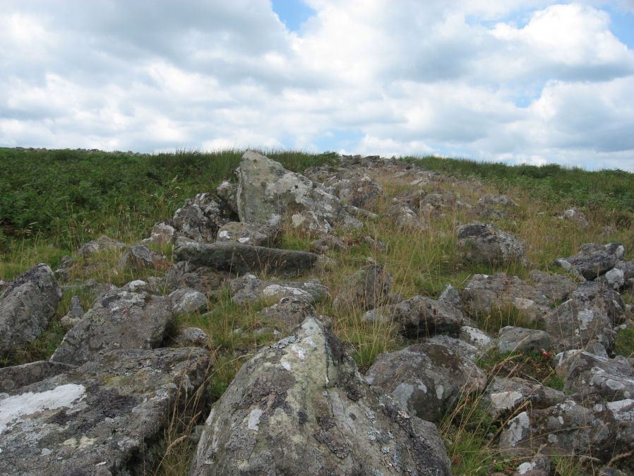
Riders Rings Enclosed Settlement

Photo taken on 27-07-2011
Database entries
OS Map: SX 67870 64359
OS Source: Constructed
HER: MDV5767
Megalithic Portal: 45321
Alternate name: Riders Rings
Short Name: ES RidersRings
DPD page: 85
Exist: Yes
Record: Unique
Record Source: PDW
Hut Class: No
Lidar: SX 67870 64359
Guide Map: 52
Nearest Bus Stop: South Brent Pool Park (6.5 km) [Route: 38]
Nearby sites: SX 67870 64359
Notes
"The largest and most important pound in the Avon Valley. Situated on the eastern slope of Zeal Plains. It is best regarded as being two contiguous pounds, of which it would appear that the south west member was constructed first, while the north east member was added as a later extension. The two pounds together cover an area of over six acres and enclose some three dozen hut-circles". Lethbridge p.85References
These are selected references with an emphasis on out of copyright sources linked as PDFs. For more detailed references try any linked HER or PMD record above.
- Beckerlegge, J. J., Second Report of the Plymouth and District Branch, T.D.A. Vol.65 p.186 (1933)
- Greeves, T, The Archaeology of Dartmoor from the Air, (1985)
- Worth, R. Hansford, Twelfth Report of the Dartmoor Exploration Committee, T.D.A. Vol.67 pp.115-30 (1935)
- Worth, R. Hansford, The Prehistoric Pounds of Dartmoor, T.D.A. Vol.75 pp.273-302 (1943)