
Ball Gate Stone Ring Cairn Circle
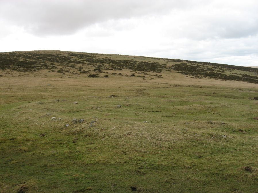
Photo taken on 06-03-2016
Database entries
PDW coverage: Dartmoor Walk: The Erme East stone rows
OS Map: SX 66996 61306
OS Source: Garmin
Butler OS: SX66996129
HER: MDV7739
Megalithic Portal: 45839
PMD: Corringdon Ball Gate cairn
Alternate name: Corringdon Ball N.
Short Name: RC Ball Gate
Butler map: 56.10
Grinsell: SOUTH BRENT 9
Turner: A43
Exist: Yes
Record: Unique
Record Source: Butler
Hut Class: No
Cist Class: Maybe
Cairn Class: Yes
Barrow Report: 28 66
Dimensions (m): 24.0 x 0.4
Lidar: SX 66996 61306
Guide Map: 57
Nearest Bus Stop: South Brent Pool Park (4.5 km) [Route: 38]
Nearby sites: SX 66996 61306
Notes
"A very vague circle 21m diameter, which may be the remains of a mutilated cairn. Vis=-/4/1977 (ancient monuments) possibly rather damaged on one side. Vis=23/6/1973 (grinsell, l. V. ). Site of cairn almost levelled probably for material to build the adjoining wall. Shown on OS 6" as 'cairn circle'. Diameter 21m, height 0.4m. Vis=28/7/1977 (os) there is a gap in the rim on the southeast, probably for carts taking away the stone".References
These are selected references with an emphasis on out of copyright sources linked as PDFs. For more detailed references try any linked HER or PMD record above.
- Butler, Jeremy, Dartmoor Atlas of Antiquities, vol.4: The South-East, (1993)
- Grinsell, L.V., Dartmoor Barrows, Devon Archaeological Society Proceedings No.36 (1978)
- Lukis, W.C, Report on the Monuments of Dartmoor, Proceeding of the Society of Antiquaries Vol.8 (1881)
- Rowe, Samuel, A Perambulation of Dartmoor (3rd Edition), (1896)
- Turner, J.R., Ring Cairns, stone circles and related monuments on Dartmoor, D.A.S.P. No.48 pp.27-86 (1990)
- Worth, R. Hansford, Barrow Report 28, T.D.A. Vol.41 pp.93-94 (1909)
- Worth, R. Hansford, Barrow Report 66, T.D.A. Vol.79 pp.31-34 (1947)