
Langstone Moor Stone Ring Cairn Circle

Photo taken on 13-08-2025
2018-06-25
Database entries
PDW coverage: Dartmoor Site: Langstone Moor Stone Circle, Stone Row & Settlements
OS Map: SX 54843 77922
OS Source: Garmin
HER: MDV48862
Megalithic Portal: 45833
Alternate name: Langstone Moor
Short Name: RC Langstone
Turner: A22
Exist: Yes
Record: Unique
Record Source: PDW
Hut Class: No
Cairn Class: Yes
Dimensions (m): 6.9
Lidar: SX 54843 77922
Guide Map: 24
Nearest Bus Stop: Merrivale Dartmoor Inn (3.5 km) [Route: 98,171(20/07/26 to 19/09/26)]
Nearby sites: SX 54843 77922
Notes
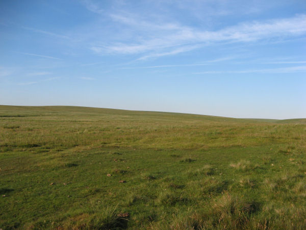
HER: A semi-circular bank, possibly the remains of a ring cairn.1.4 to 2m wide, 0.4m high. Composed of small + medium sized stones now largely turf-covered. It fades at each end of a near-perfect semi-circle of 14.9m internal diam. There is a low stone pile, 0.2m high, in se quadrant.The author visited this site on 25/06/2018. A semi circular group of periglacial mounds can indeed be seen. The author on that occasion concluded that what appears to be a ring cairn is in fact simply the natural arrangement of the mounds. Re-visited on 13/08/2025 and the appearance looked very much like a ring cairn. This feature is also listed by some authors Mortar Emplacement 12
References
These are selected references with an emphasis on out of copyright sources linked as PDFs. For more detailed references try any linked HER or PMD record above.
- Newman, Phil, The Langstone Moor Stone Circle, Peter Tavy, Devon and its Prehistoric Environs, English Heritage (2003)
- Turner, J.R., Ring Cairns, stone circles and related monuments on Dartmoor, D.A.S.P. No.48 pp.27-86 (1990)