
Holne Moor Stone Ring Cairn Circle
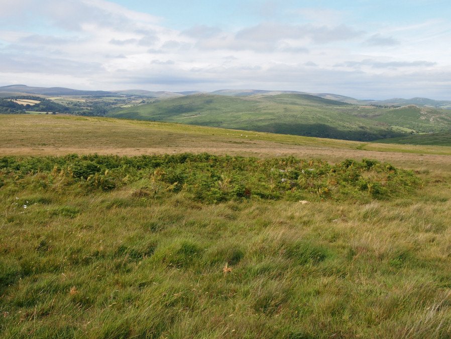
Photo taken on 15-07-2016
Database entries
OS Map: SX 66919 70785
OS Source: Garmin
Butler OS: SX66917077
HER: MDV6474
Megalithic Portal: 27342
Alternate name: Holne Ridge N.9
Short Name: RC HolneRidg 9
Butler map: 60.26.9
Grinsell: HOLNE 5
Turner: A12
Exist: Yes
Record: Unique
Record Source: Butler
Hut Class: No
Cairn Class: Yes
Dimensions (m): 22.0 x 0.8
Lidar: SX 66919 70785
Guide Map: 40
Nearest Bus Stop: Postbridge Bellever (8.7 km) [Route: 98]
Nearby sites: SX 66919 70785
Notes
"One of four cairns 310 metres south of Horn's Cross forming part of a cairn cemetery on Holne Ridge. Ring cairn measuring 19.9 metres in diameter, height 0.9 metres. Has a 4 metre wide bank standing up to 0.9 metres high surrounding an 11.9 metre diameter internal area. A stone on the inner face of the east side of the cairn has been cut by tear and feather."References
These are selected references with an emphasis on out of copyright sources linked as PDFs. For more detailed references try any linked HER or PMD record above.
- Butler, Jeremy, Dartmoor Atlas of Antiquities, vol.4: The South-East, (1993)
- Grinsell, L.V., Dartmoor Barrows, Devon Archaeological Society Proceedings No.36 (1978)
- Newman, Phil; Probert, S. A. J, Holne Moor, Dartmoor, Devonshire. A Landscape Survey, Royal Commission on the Historical Monuments of England (1997)
- Turner, J.R., Ring Cairns, stone circles and related monuments on Dartmoor, D.A.S.P. No.48 pp.27-86 (1990)