
Stalldown Stone Ring Cairn Circle
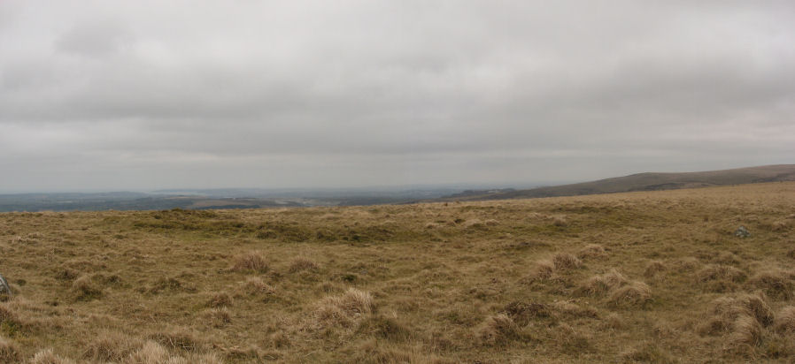
Photo taken on 19-03-2016
Database entries
PDW coverage: Dartmoor Site: Stalldown Stone Row [Photo Set 2]
OS Map: SX 63529 62310
OS Source: Garmin
Butler OS: SX63526230
HER: MDV4301
Megalithic Portal: 45819
Alternate name: Stalldown Summit 6
Short Name: RC Staldon 6
Butler map: 54.18.6
Turner: A4
Exist: Yes
Record: Unique
Record Source: Butler
Hut Class: No
Cairn Class: Yes
Dimensions (m): 29.0 x 0.3
Lidar: SX 63529 62310
Guide Map: 56
Nearest Bus Stop: Cornwood Crossways (5.3 km) [Route: 59]
Nearby sites: SX 63529 62310
Notes
A circular turf-covered stone ring on the summit of Stalldown Barrow hill. It is 25.5m in diameter, comprising a bank of small stones, 2.0m to 3.0m wide and 0.2m to 0.7m high. There is a 5.0m gap in the south-west but no evidence of disturbance to the interior or of a surrounding ditch. Not far to the east is Hillson's House. Butler Cairn 6 (Vol 3 54.18).References
These are selected references with an emphasis on out of copyright sources linked as PDFs. For more detailed references try any linked HER or PMD record above.
- Butler, Jeremy, Dartmoor Atlas of Antiquities, vol.4: The South-East, (1993)
- Crossing, William, Guide to Dartmoor, (2001)
- Gerrard, Sandy, English Heritage Book of Dartmoor: Landscapes Through Time, (1997)
- Newman, Phil, The Upper Erme Valley Dartmoor National Park Devon An Archaeological Survey, Southwest Landscape Investigations (2018)
- Turner, J.R., Ring Cairns, stone circles and related monuments on Dartmoor, D.A.S.P. No.48 pp.27-86 (1990)