
Giants Hill W Cist
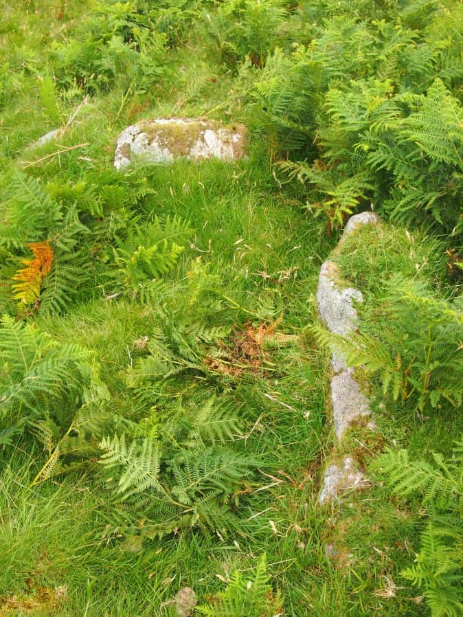
Photo taken on 17-07-2016
Database entries
OS Map: SX 59444 66753
OS Source: Garmin
HER: MDV55396
Megalithic Portal: 45813
PMD: Giants Hill
Alternate name: Giants Hill W
Short Name: CT GiantsHillW
Dixon Cist #: 156
DPD page: 48
Exist: Yes
Record: Unique
Record Source: PDW
Hut Class: No
Cist Class: Yes
Cairn Class: Yes
Dimensions (m): 1.4 x 0.7 C
Lidar: SX 59444 66753
Guide Map: 48
Nearest Bus Stop: Meavy Primary School (6.5 km) [Route: 56]
Nearby sites: SX 59444 66753
Notes
"The cist is situated at the wsw end of the cairn, is 1.4m by 0.7m by 0.3m deep and is orientated ne-sw". Lethbridge p.48 Giant's Hill scheduled Cist diagram p.47.References
These are selected references with an emphasis on out of copyright sources linked as PDFs. For more detailed references try any linked HER or PMD record above.
- Lethbridge, William D., Discover Preshistoric Dartmoor, (2015)