
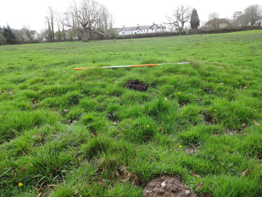
Parke 2 Reported Cairn
Database entries
OS Map: SX 81007 78329
OS Source: Jowan Albon
HER: MDV122310
Alternate name: Parke 2
Short Name: CN-Parke 2
Exist: Yes
Record: Unique
Hut Class: No
Cairn Class: Yes
Dimensions (m): 5.5m
Lidar: SX 81007 78329
Nearest Bus Stop: Bovey Tracey Dolphin Square (0.5 km) [Route: 171(20/07/26 to 19/09/26)]
Nearby sites: SX 81007 78329
Notes
"Low grassy mound, with a slight ring apparent, it is about half a meter high and sits on the edge of a slight marshy area in a field dominated by an oak tree. It sits in the field behind the Bovey Tracey Fire station, located to the right side of the main path.""Measurements
North to South (Including ring, there appears to be a slight ring around it not apparent in photos), 5 metres 80 cm
North to South (W/o ring) - 3 metres 20cm
East to West (Including ring) 6 metres 60cm
East to West (W/o ring) 4 metres 40cm"
Photo by Jowan Albon. Reproduced with permission, copyright remains with Jowan Albon.