
Barn Hill Cist
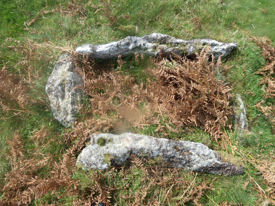
Photo taken on 14-10-2024
Database entries
OS Map: SX 53318 74558
OS Source: Garmin
Butler OS: SX53327457
HER: MDV14685
Megalithic Portal: 45785
PMD: Barn Hill
Alternate name: Barn Hill S.
Short Name: CT Barn Hill 1
Butler map: 44.10.3
Dixon Cist #: 128
Grinsell: WHITCHURCH 3
DPD page: 15
Exist: Yes
Record: Unique
Record Source: Butler
Hut Class: No
Cist Class: Yes
Cairn Class: Yes
Dimensions (m): c.5.0 x 0.1 C
Lidar: SX 53318 74558
Guide Map: 32
Nearest Bus Stop: Tavistock Higher Longford (2.1 km) [Route: 98,171(20/07/26 to 19/09/26)]
Nearby sites: SX 53318 74558
Notes
"The cairn mound measures 5.7 metres in diameter and stands up to 0.2 metres high. The cist lies slightly south of the cairn's centre and survives as a 0.98 metre long by 0.6 metre wide and 0.3 metre deep stone-lined pit".Barrow Report 39 refers to a posible cist on the northern side of Barn Hill and this is a different feature on the southern side. The Barrow Report refers to MDV4114.
Butler Barn Hill S. - Vol. 3. Map 44.10.3. (diagram p.34). Previously listed with an inaccurate grid reference. Now confirmed at SX 53318 74558.
References
These are selected references with an emphasis on out of copyright sources linked as PDFs. For more detailed references try any linked HER or PMD record above.
- Butler, Jeremy, Dartmoor Atlas of Antiquities, vol.3: The South-West, (1994)
- Grinsell, L.V., Dartmoor Barrows, Devon Archaeological Society Proceedings No.36 (1978)
- Lethbridge, William D., Discover Preshistoric Dartmoor, (2015)