Database entries
OS Map: SX 59350 93705
OS Source: Garmin
HER: MDV70198
Alternate name: Moor Gate 1
Short Name: CN-MoorGate 1
Exist: Yes
Record: Unique
Record Source: HER
Hut Class: No
Cairn Class: Maybe
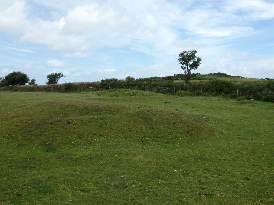
Dimensions (m): 13 x 0.6
Lidar: SX 59350 93705
Guide Map: 1
Nearest Bus Stop: Okehampton Railway Station (1.0 km) [Route: 118,306,6A]
Nearby sites: SX 59350 93705
Notes
"A low stony mound 13m in diameter and 0.6m high lies on the edge of a marshy area 150m S of the cattle grid on the Halstock track. Much of the cairn's stony fabric protrudes through a thin covering of soil and the top possesses a distinct lip around its edge. The crest of this feature has been used as a site for a cattle feeder which has resulted in the erosion of much of the former turf covering and the creation of the lip around the top on the mound. There is no trace of a cist or kerb."