
Ringmoor Down N.3 Reported Cairn
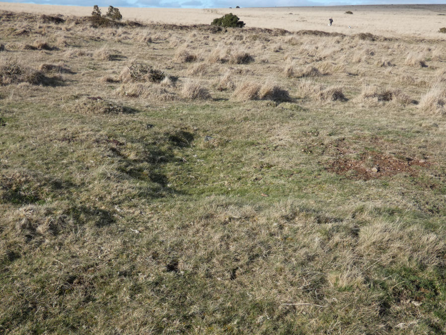
Photo taken on 19-02-2023
Database entries
OS Map: SX 56303 66265
OS Source: Google
HER: MDV42770
Alternate name: Ringmoor Down N.3
Short Name: CN RingmoorN 3
Exist: Yes
Record: Unique
Record Source: HER
Hut Class: No
Cairn Class: Yes
Dimensions (m): 8 x 0.4
Lidar: SX 56303 66265
Guide Map: 47
Nearest Bus Stop: Meavy Primary School (2.7 km) [Route: 56]
Nearby sites: SX 56303 66265
Notes
"Formerly identified and scheduled in the 1990s as a cairn (one of a group of three), this was re-assessed during 2005 survey work. Identified as former tin pits that have been reoccupied by the military in the more recent past."Visited by the author 19/02/23. L-shaped trench in the feature at SX 56307 66267. There is another L-shaped trench about 9 metres to the west at SX 56298 66263. The trenching could be activities by the military as described by Newman, P. + Probert, S in the HER entry. This does look a dubious cairn and the suggestion of tinners pit later re-used by the military seems plausible. This feature is now listed here as a "reported cairn" as not thought to be prehistoric.